 Kirkjubour: Gamlarætt - Streymoy, Faroe Islands
Gamlarætt has served as a ferry harbour in the Streymoy region since the late 20th century. Set on Streymoy’s exposed southwest coast, it links the main Faroese island with Hestur across Hestsfjørður, a narrow sound opening towards the North Atlantic. The harbour, access road and working shoreline form part of the islands’ vital sea-transport network, where settlements are often separated by steep, treeless slopes and water rather than long overland routes. A short distance north lies Kirkjubøur, one of the Faroes’ most important historic places, with the unfinished medieval St Magnus Cathedral and the old royal farm, Kirkjubøargarður. Gamlarætt is a practical introduction to the seafaring geography that binds this archipelago together.
Generated by AI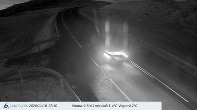

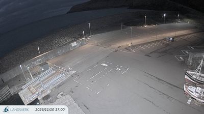

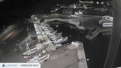
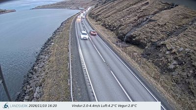
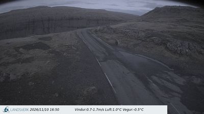
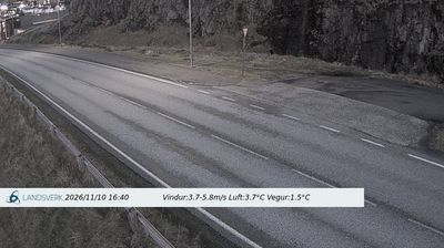

Streymoy has been the political heartland of the Faroe Islands since the Viking Age. Tórshavn, the archipelago’s capital, lies on its southeastern coast, and the historic Tinganes peninsula recalls the site of an early Faroese assembly. Narrow fjords cut into steep, grass-covered slopes, while the Sundini strait separates Streymoy from Eysturoy. At Kirkjubøur, the ruins of medieval St Magnus Cathedral stand beside Roykstovan, a historic timber farmhouse. Explore nearby webcam locations that provide complementary perspectives on Streymoy and the Faroe Islands.
18 webcams
Built around Norse settlements sustained by North Atlantic sea routes, the Faroe Islands developed into a self-governing archipelago within the Kingdom of Denmark. Eighteen rugged islands lie between Norway and Iceland, where steep basalt cliffs, grass-roofed houses and narrow fjords define the coast. The capital, Tórshavn, stands on Streymoy, while the sea stacks at Drangarnir and Lake Sørvágsvatn on Vágar reveal the islands’ striking geology. Faroese, descended from Old Norse, remains the everyday language, and the Løgting in Tórshavn is among the world’s oldest parliaments. Fishing and sheep farming continue to shape local life alongside a contemporary Nordic food and arts scene. Discover other points of interest through webcams located across the Faroe Islands.
50 webcams