 Kesennuma
The Sanriku Coast defines the setting of Kesennuma — its indented Pacific shoreline has long shaped a city closely tied to the sea. In Motoyoshi-ku, National Route 45 follows the coast through low wooded hills, coastal flats and engineered river channels. Kesennuma is one of northeastern Japan’s important fishing ports, with seafood landings supporting processing businesses and local food traditions. The city also lies within the region profoundly changed by the 2011 Great East Japan Earthquake and tsunami. Rebuilt roads, seawalls and raised ground now form a major part of this shoreline. It is a working section of Miyagi’s coast, where transport infrastructure, fishing communities and the open Pacific meet.
Generated by AI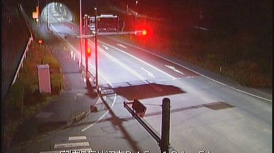

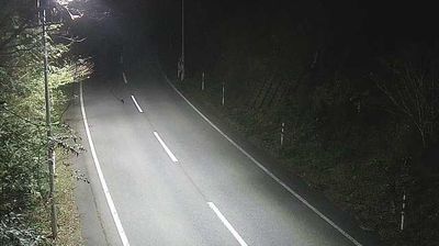
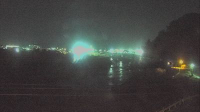
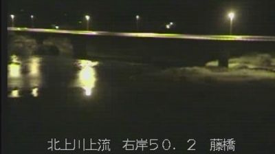

Kesennuma sits on Kesennuma Bay in Miyagi Prefecture, where the deeply indented Sanriku coast meets the Pacific Ocean. The city is a working fishing port, its waterfront shaped by landings, markets and processing plants rather than resort development. Kesennuma is particularly associated with shark-fin processing, a long-established local industry reflected in restaurants and food shops. The Great East Japan Earthquake and tsunami of 2011 caused immense damage here; memorial sites and rebuilt districts now form part of the city’s identity. Offshore islands and wooded headlands give the bay a strongly maritime character. Find related webcams across Miyagi’s Sanriku coast to build a fuller picture of Kesennuma and its shoreline.
2 webcams
Miyagi Prefecture has served as a cultural and administrative centre within northeastern Japan since the late 19th century. Its principal city, Sendai, grew around Sendai Castle, founded in 1601 by the daimyō Date Masamune, and remains the region’s largest urban hub. To the east, the Pacific shore includes Matsushima Bay, celebrated for its many pine-covered islands; the Kitakami River reaches the sea at Ishinomaki in the north of the prefecture. Inland, farming country rises toward the Ōu Mountains, while the Zao area marks the southern borderland. Local life is also associated with gyūtan, the grilled beef-tongue specialty developed in Sendai after the Second World War. Browse other webcams across Miyagi Prefecture to place this setting in a wider geographic context.
12 webcams
Among the countries of East Asia, Japan stands out for its volcanic archipelago, stretching from the cool north of Hokkaido to subtropical Okinawa. Mount Fuji, the nation’s highest mountain, rises above central Honshu, while the Pacific Ocean and the Seto Inland Sea have long shaped settlement, fishing and travel. Tokyo pairs dense urban life with major museums and neighbourhood traditions; Kyoto preserves temples, gardens and the legacy of Japan’s imperial court. Seasonal customs give journeys a changing rhythm, from spring cherry blossom viewing to autumn leaves. Regional cooking is equally varied, with sushi, ramen and local specialties reflecting coastlines, climate and agriculture. Explore nearby webcam locations that provide complementary perspectives on Japan’s islands, cities and mountain regions.
1.3K webcams