 Goshen: I-5 Near
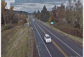
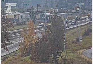
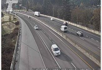
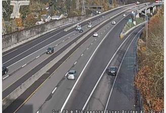
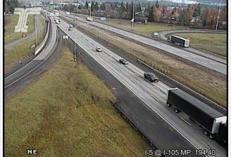
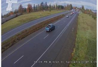
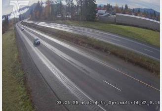
The Willamette Valley defines the setting of Goshen — this small Lane County community lies where the broad valley floor meets wooded hills south of Eugene. Interstate 5 runs through this part of the valley as a principal north–south route of the U.S. West Coast, giving the otherwise rural area a strongly transport-oriented character. Farmland, residential pockets and commercial services occupy the lower ground, while forested ridges mark the valley’s edge. Goshen is within the Eugene–Springfield metropolitan area, whose cultural life is shaped in part by the University of Oregon. Lane County takes its name from Joseph Lane, Oregon Territory’s first governor, linking this everyday roadside landscape to the state’s early territorial period.
Generated by AI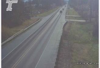



The White River defines the setting of Goshen — its upper course and the rolling terrain of the Ozark Plateau keep this small Washington County community closely connected to wooded hollows, pastureland and nearby water. Goshen sits in Northwest Arkansas, where rural roads and farms meet the expanding Fayetteville area. Fayetteville, home to the University of Arkansas, gives the region a strong cultural presence through Razorbacks sport, museums and performance venues. Lake Sequoyah, a White River reservoir near Goshen, adds another local focus for fishing and time outdoors. Find related webcams in Northwest Arkansas to build a fuller picture of Goshen and its surroundings.
2 webcams
The Arkansas River, the Ozark Plateau and the Ouachita Mountains define much of Arkansas — their waterways, forests and fertile lowlands have long supported farming, timber and river trade. These coordinates lie near Conway in central Arkansas, northwest of Little Rock. Conway is home to the University of Central Arkansas, founded in 1907, and has grown into a regional centre for education and business. Across the state, terrain shifts from the Mississippi Alluvial Plain in the east to higher, wooded country in the west. Browse additional webcams from central Arkansas to extend your view of the Arkansas River country.
33 webcams
The Atlantic, Pacific and Gulf coasts define much of the United States — their ports, fisheries and trade routes have long tied the country’s economy to the wider world. Between them, the Rocky Mountains, Great Plains and Mississippi River basin form sharply different regions, from high western ranges to broad agricultural heartlands. Cities carry much of the national story: New York’s Statue of Liberty, a gift from France dedicated in 1886, remains an enduring symbol, while Washington, DC concentrates major federal institutions. Indigenous nations have shaped these lands for millennia, and their living cultures remain essential to the country’s identity. Find related webcams in the surrounding areas to build a fuller picture of the United States.
32K webcams