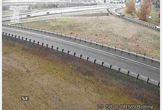
 Thurston: OR126 at 52nd
Thurston straddles the transition from Springfield to the McKenzie River valley in Oregon’s Willamette Valley, and Oregon Route 126 has shaped it as an eastern approach to the urban area. This suburban community lies east of central Springfield, where broad arterial roads, low-rise housing and commercial sites meet open grassy margins and stands of conifers. The McKenzie River runs north of Thurston before joining the Willamette River near Eugene. Route 126 continues from Springfield through the McKenzie River valley toward central Oregon, giving the area a long-standing connection to the Cascade foothills. Downtown Springfield, west of Thurston, is home to the Richard E. Wildish Community Theater, a venue for local performing arts.
Generated by AI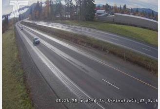

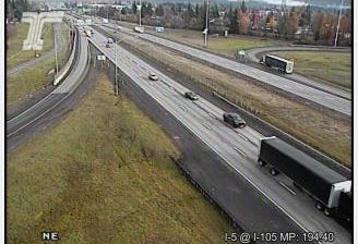
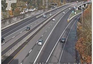
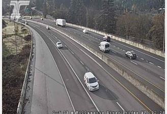
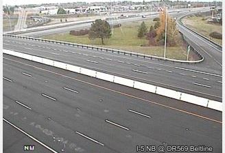

The landscape around Thurston is a rolling, wooded part of the Allegheny Plateau in New York’s Southern Tier, which has shaped both the dispersed settlement pattern and local economy. This rural town in eastern Steuben County is defined by farm fields, forest cover and quiet local roads rather than a dense central village. Thurston was created from part of the town of Cameron in 1844, reflecting the nineteenth-century subdivision of this inland region. Its upland setting lies between the Finger Lakes country and Pennsylvania’s northern border. Continue with other webcams from Steuben County to see how this part of New York’s Southern Tier connects regionally.
1 webcam
New York has served as a commercial and transport heartland within the United States since the early 19th century. These coordinates lie in Central New York, near Oneida Lake, the largest lake entirely within the state. The lake and the nearby Mohawk Valley formed part of the wider corridor that made the Erie Canal, completed in 1825, a decisive link between the Hudson River and the Great Lakes. This is also part of the ancestral homeland of the Oneida people, one of the Haudenosaunee nations. Today, waterways, small lakeside communities and the canal-era landscape give the area a distinctly inland New York character. Explore nearby webcam locations that provide complementary perspectives on Central New York and Oneida Lake.
64 webcams
The Atlantic, Pacific and Gulf coasts define much of the United States — their ports, fisheries and trade routes have long tied the country’s economy to the wider world. Between them, the Rocky Mountains, Great Plains and Mississippi River basin form sharply different regions, from high western ranges to broad agricultural heartlands. Cities carry much of the national story: New York’s Statue of Liberty, a gift from France dedicated in 1886, remains an enduring symbol, while Washington, DC concentrates major federal institutions. Indigenous nations have shaped these lands for millennia, and their living cultures remain essential to the country’s identity. Find related webcams in the surrounding areas to build a fuller picture of the United States.
32K webcams