 Albrechtice: Ski resort Spicak, Skiaréna Jizerky - Lyžařský vlek Zalomený

The Jizera Mountains define the setting of Tanvaldský Špičák — forested slopes give this Albrechtice ski area a compact upland character. At 831 metres, Špičák is one of the principal downhill centres in the range, with the Zalomený lift and graded runs forming part of SkiAréna Jizerky. The surrounding mountains are crossed by the Jizerská magistrála, a long-distance network associated with cross-country skiing. This corner of northern Bohemia is also shaped by glassmaking: nearby Jablonec nad Nisou developed into an internationally known centre for costume jewellery and glass. Tanvaldský Špičák links a working mountain resort with the region’s craft heritage.
Generated by AI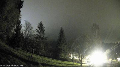




The rolling foothills of the Orlické Mountains define the setting of Albrechtice — fields, woodland and scattered homes give this municipality near Lanškroun a rural, gently undulating character. It stands in the Pardubice Region, in the historic Czech–German borderland whose settlement patterns and local traditions were shaped by both communities over centuries. Albrechtice is part of the quieter interior of eastern Bohemia, away from the country’s principal urban routes but closely connected to the surrounding small towns. Browse other webcams across the Pardubice Region to place this setting in a wider geographic context.
1 webcam
Pardubický kraj has been an eastern Bohemian heartland of the Czech lands since the Middle Ages. The Labe crosses its western lowlands around Pardubice before the terrain rises toward the Orlické Mountains and the Žďárské vrchy. Pardubice developed around its Renaissance castle and is associated with the Pardubice Steeplechase, a race first held in 1874. To the south-east, Litomyšl is known for its Renaissance château, inscribed on UNESCO’s World Heritage List, while Kladruby nad Labem preserves the stud landscape linked to the Kladruber horse. Browse additional webcams nearby to understand how Pardubický kraj meets the lowlands and uplands around it.
97 webcams
The terrain of Czechia ranges from fertile lowlands in southern Moravia to mountain ridges along the northern frontier, giving this Central European country a distinctly varied geography. The Vltava runs through Prague before joining the Elbe, while the Krkonoše form part of the border with Poland and include Sněžka, Czechia’s highest mountain. Prague’s historic centre, with Prague Castle and Charles Bridge, reflects the city’s long role as a political and cultural centre. Beyond the capital, Bohemia is known for spa towns and brewing, and Moravia for wine-growing traditions. View additional webcams nearby to better understand how Czechia relates to its Central European surroundings.
1.4K webcams