 Zgierz: Plac Jana Pawła II
The landscape around Zgierz is low-lying and urban within the central Polish plain, which has shaped both the built environment and local life. Plac Jana Pawła II is a civic square in the town centre, defined by streets, mature trees and low-rise historic façades rather than by monumental scale. Zgierz lies on the Bzura River, north of Łódź, in a region whose 19th-century growth was closely tied to the textile industry. The town received municipal rights in 1288, and its later development as a manufacturing centre left a distinctive mix of older urban fabric and former industrial areas. Today the square remains a practical point of orientation for the compact centre, where everyday traffic and public services meet the older street pattern.
Generated by AI
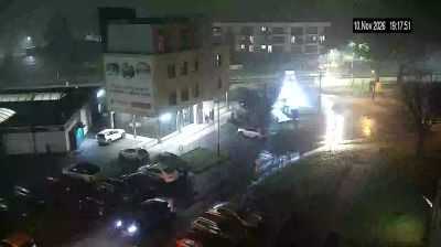
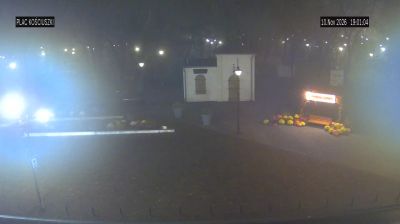

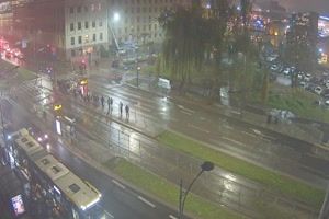



The Bzura River defines the setting of Zgierz — its headwaters lie nearby, and the river passes through a lowland city shaped by nineteenth-century industry. Just north of Łódź, Zgierz expanded when textile makers and craftspeople settled here during the early industrial growth of central Poland. The Miasto Tkaczy Cultural Park preserves wooden former weavers’ houses, giving a tangible sense of the town’s cloth-making past. Today, Zgierz forms part of the wider Łódź urban area, where industrial heritage remains an important thread in the regional identity. Move on to other webcams in Łódź Voivodeship to compare landscapes and settings around Zgierz.
3 webcams
Łódź Voivodeship combines an industrial legacy with broad lowland countryside in a way that reflects its position in central Poland. Its capital, Łódź, expanded rapidly as a textile-manufacturing centre in the 19th century, and former mill buildings remain an important part of its urban identity. The revitalised Manufaktura complex is a prominent example of this heritage. Beyond the city, the Warta and Pilica rivers run through a region of fields, woodland and smaller towns. Piotrkowska Street, one of Łódź’s defining thoroughfares, remains central to city life. Find related webcams across central Poland to build a fuller picture of Łódź Voivodeship.
58 webcams
Poland stretches from the Baltic Sea coast in the north to the Carpathian Mountains along its southern frontier, encompassing broad lowlands, lake districts and upland ranges. The Vistula, the country’s longest river, links Kraków and Warsaw before reaching the Baltic near Gdańsk, while the Masurian Lake District is defined by a dense network of lakes. Kraków’s historic centre, including Wawel Castle, recalls Poland’s former royal capital; Warsaw’s rebuilt Old Town speaks to the city’s recovery after the Second World War. The Białowieża Forest preserves one of Europe’s last primeval lowland forests and is home to European bison. Follow how Poland’s regions relate to one another by browsing webcams across the country.
718 webcams