 Aleksandrow Lodzki
Built around a planned textile settlement in the early 19th century, Aleksandrów Łódzki grew into a town on the Bzura, just northwest of Łódź. The Bzura is a tributary of the Vistula, part of central Poland’s lowland river system. Aleksandrów Łódzki received town rights in 1822 and developed as a weaving centre, with Polish, German and Jewish communities contributing to its industrial growth. Its broad market square and orderly street plan retain the logic of the founding-era layout, while parks and public spaces soften the compact centre. The town remains closely tied to the Łódź urban area, yet its identity is rooted in the textile traditions that reshaped this part of Poland.
Generated by AI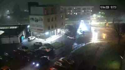
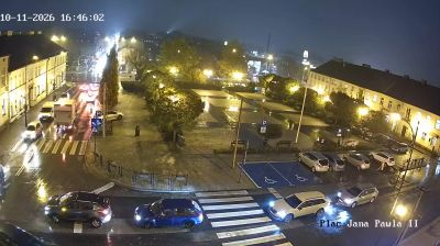
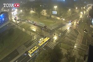


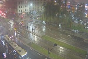

Few cities in Łódź Voivodeship have a history as closely tied to the textile industry as Aleksandrów Łódzki. Founded in 1816 as a planned manufacturing settlement, it grew during the 19th century alongside nearby Łódź and was named for Tsar Alexander I. The town lies on the upper Bzura in the level central Polish lowlands, where its broad market square preserves the ordered layout of its early industrial beginnings. Hosiery and knitwear have remained part of its local identity long after the large textile era receded. View additional webcams nearby to better understand how Aleksandrów Łódzki relates to its surroundings.
2 webcams
Łódź Voivodeship combines an industrial legacy with broad lowland countryside in a way that reflects its position in central Poland. Its capital, Łódź, expanded rapidly as a textile-manufacturing centre in the 19th century, and former mill buildings remain an important part of its urban identity. The revitalised Manufaktura complex is a prominent example of this heritage. Beyond the city, the Warta and Pilica rivers run through a region of fields, woodland and smaller towns. Piotrkowska Street, one of Łódź’s defining thoroughfares, remains central to city life. Find related webcams across central Poland to build a fuller picture of Łódź Voivodeship.
57 webcams
Poland stretches from the Baltic Sea coast in the north to the Carpathian Mountains along its southern frontier, encompassing broad lowlands, lake districts and upland ranges. The Vistula, the country’s longest river, links Kraków and Warsaw before reaching the Baltic near Gdańsk, while the Masurian Lake District is defined by a dense network of lakes. Kraków’s historic centre, including Wawel Castle, recalls Poland’s former royal capital; Warsaw’s rebuilt Old Town speaks to the city’s recovery after the Second World War. The Białowieża Forest preserves one of Europe’s last primeval lowland forests and is home to European bison. Follow how Poland’s regions relate to one another by browsing webcams across the country.
711 webcams