 Wako: 越戸川ふれあいゾーン - Niikurafureai Bridge - Kamiyatsu Bridge
The Koshido River defines the setting of Wako — its narrow, engineered channel passes between built-up neighbourhoods, where embankments, footpaths and bridges keep this small watercourse part of everyday city life. Kamiyatsu Bridge and Niikura Fureai Bridge mark a compact riverside stretch known as the Koshidokawa Fureai Zone. Here, pedestrian routes follow the river’s bends and connect streets on either side, giving an intimate scale to a city within the Tokyo metropolitan area. Wako was incorporated as a city in 1970 and is also associated with major research institutions, including RIKEN’s Wako campus. The river corridor provides a quieter counterpoint to the city’s residential and scientific character.
Generated by AI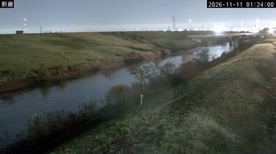

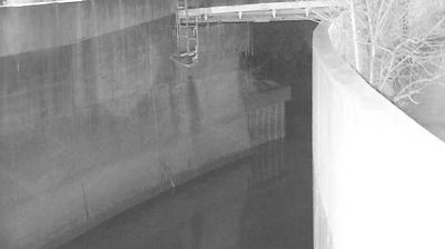
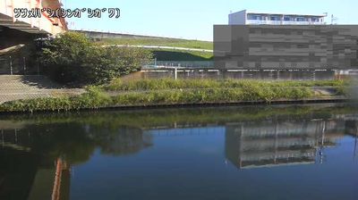

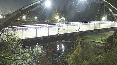
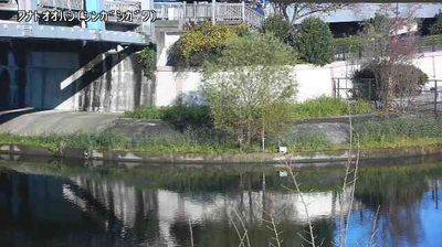
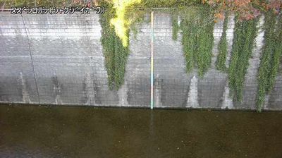

Wako is best known within Saitama Prefecture for the RIKEN Wako Campus, headquarters of Japan’s national research institute. On the northern edge of metropolitan Tokyo, the city occupies part of the Musashino Plateau, while the Shirako River runs through its built-up neighbourhoods. RIKEN’s laboratories give Wako an international scientific profile, and Honda also maintains major research-and-development operations here. Incorporated as a city in 1970, Wako has grown from a former agricultural area into a compact residential and research centre closely linked to Tokyo. Rail connections from Wako-shi Station make it a practical base for reaching the capital and nearby Saitama. Browse additional webcams from the surrounding area to extend your view of Wako and Saitama Prefecture.
2 webcams
The terrain of Saitama Prefecture ranges from low alluvial plains in the east to the forested Chichibu Mountains in the west, creating a clear transition from metropolitan districts to rural highlands. Much of central and eastern Saitama forms part of the Kantō Plain, where commuter cities, farmland and river corridors extend immediately north of Tokyo. The Arakawa crosses the prefecture, while the west is defined by wooded slopes and small mountain towns. Kawagoe retains streets of kura-style merchant warehouses that recall its importance as an Edo-period commercial centre. In Chichibu, the December Chichibu Night Festival is celebrated with imposing floats and fireworks. Explore nearby webcam locations that provide complementary perspectives on Saitama Prefecture.
42 webcams
Among the countries of East Asia, Japan stands out for its volcanic archipelago, stretching from the cool north of Hokkaido to subtropical Okinawa. Mount Fuji, the nation’s highest mountain, rises above central Honshu, while the Pacific Ocean and the Seto Inland Sea have long shaped settlement, fishing and travel. Tokyo pairs dense urban life with major museums and neighbourhood traditions; Kyoto preserves temples, gardens and the legacy of Japan’s imperial court. Seasonal customs give journeys a changing rhythm, from spring cherry blossom viewing to autumn leaves. Regional cooking is equally varied, with sushi, ramen and local specialties reflecting coastlines, climate and agriculture. Explore nearby webcam locations that provide complementary perspectives on Japan’s islands, cities and mountain regions.
1.3K webcams