 Shinagawa: 品川ふ頭ポンプ所 - Shinagawa Minami Futo Park - Shinagawa Wharf (Shinagawa Container Terminal) - Tōkyō Prefectural Route 480
The landscape around Shinagawa Minami Futo Park is a level, reclaimed stretch of Tokyo Bay waterfront, which has shaped both the built environment and local life. The park stands beside Shinagawa Wharf and the Shinagawa Container Terminal, part of the working waterfront of the Port of Tokyo. Tokyo Metropolitan Route 480 runs through this port district, where wide carriageways and service infrastructure support freight movement. The nearby Shinagawa Wharf Pumping Station forms part of the engineered drainage network needed on low-lying reclaimed land. Tokyo Port opened in 1941 and remains central to the capital’s maritime trade. Planted public space, freight facilities and dense towers meet here at the edge of the bay.
Generated by AI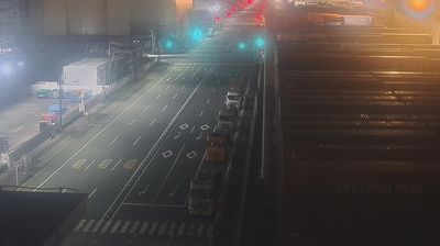
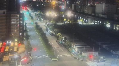
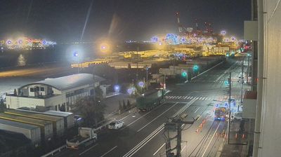
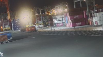
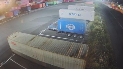

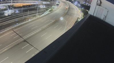
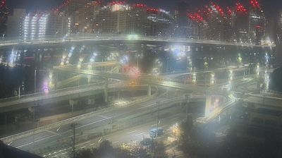
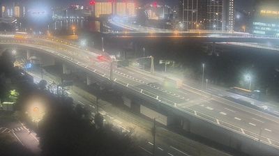
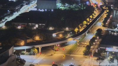

Few cities in Tokyo have a history as closely tied to travel on the Edo-period Tōkaidō as Shinagawa. The district was home to Shinagawa-juku, the first post station beyond Edo on the highway linking the shogun’s capital with Kyoto. Its southern Tokyo setting reaches Tokyo Bay, where offices, apartment towers and transport infrastructure have reshaped former waterfront land. Around Shinagawa Station, long a major rail interchange, the pace is distinctly metropolitan; nearby temples and older streets recall the area’s earlier role as a coastal stopping point. Continue through nearby webcams to explore different parts of Shinagawa and Tokyo Bay.
3 webcams
Tokyo stretches from the Okutama Mountains to the Izu and Ogasawara island groups, encompassing urban lowlands, forested uplands and volcanic Pacific islands. These coordinates fall on Izu Oshima, the largest of the Izu Islands, where Mount Mihara forms the island’s volcanic core. Black-sand shores and lava terrain contrast with the capital’s built-up centre, showing how far Tokyo’s administrative territory reaches into the ocean. Izu Oshima is closely associated with camellias, and Oshima Tsubaki oil remains a recognised local product. Ferry links from the mainland make the island part of Tokyo’s wider maritime setting. See how Tokyo connects mainland Japan with its Pacific islands by browsing webcams nearby.
212 webcams
Among the countries of East Asia, Japan stands out for its volcanic archipelago, stretching from the cool north of Hokkaido to subtropical Okinawa. Mount Fuji, the nation’s highest mountain, rises above central Honshu, while the Pacific Ocean and the Seto Inland Sea have long shaped settlement, fishing and travel. Tokyo pairs dense urban life with major museums and neighbourhood traditions; Kyoto preserves temples, gardens and the legacy of Japan’s imperial court. Seasonal customs give journeys a changing rhythm, from spring cherry blossom viewing to autumn leaves. Regional cooking is equally varied, with sushi, ramen and local specialties reflecting coastlines, climate and agriculture. Explore nearby webcam locations that provide complementary perspectives on Japan’s islands, cities and mountain regions.
1.3K webcams