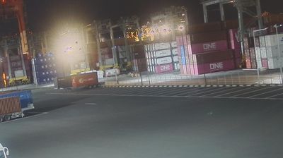
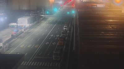
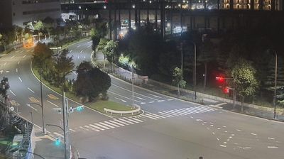
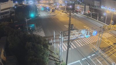
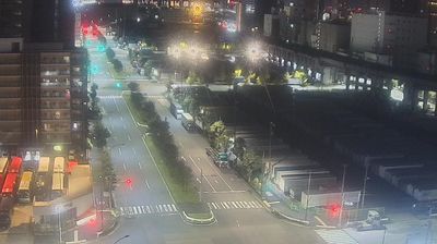
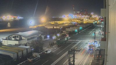
Yashio 2: 大井時間貸しシャーシプール - 大井2号ターミナル
0 35.61°, 139.76° SW
Tokyo stretches from the Okutama Mountains to the Izu and Ogasawara island groups, encompassing urban lowlands, forested uplands and volcanic Pacific islands. These coordinates fall on Izu Oshima, the largest of the Izu Islands, where Mount Mihara forms the island’s volcanic core. Black-sand shores and lava terrain contrast with the capital’s built-up centre, showing how far Tokyo’s administrative territory reaches into the ocean. Izu Oshima is closely associated with camellias, and Oshima Tsubaki oil remains a recognised local product. Ferry links from the mainland make the island part of Tokyo’s wider maritime setting. See how Tokyo connects mainland Japan with its Pacific islands by browsing webcams nearby.
Generated by AI Nearby webcams