 Þingeyri: BB-göng_BR
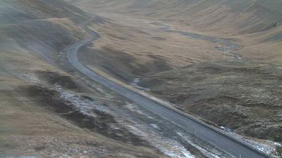
Gemlufallsheiði sits on the uplands above Dýrafjörður in Iceland’s Westfjords, where Route 60 crosses open, treeless moorland between steep-sided fjords. This mountain pass lies near Þingeyri, a settlement on Dýrafjörður whose sheltered waterfront contrasts with the broad, exposed interior. The road is part of Vestfjarðavegur, the Westfjords’ principal overland route, and its course across the heath reflects the scale and sparse settlement of this peninsula. Low slopes, stream-cut ground and broad horizons typify a region shaped by glacial erosion. Þingeyri has long served as a local trading centre, linking this remote road corridor to the maritime life of the fjords.
Generated by AI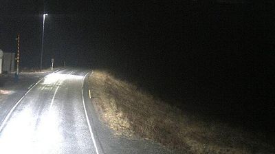
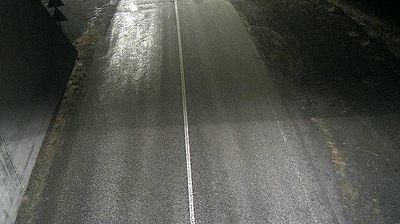


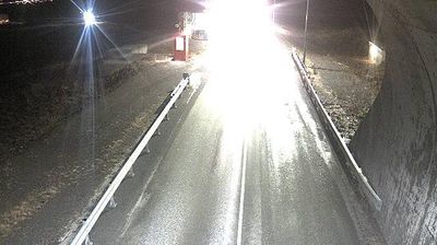
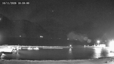
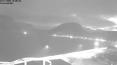



Few settlements in the Westfjords have a history as closely tied to maritime trade as Þingeyri. Set on a narrow spit extending into Dýrafjörður, the village lies beneath Sandafell and faces the broad fjord waters of north-west Iceland. Þingeyri became an authorised trading post in 1787, and fishing later shaped its harbour and community. Its compact settlement remains a useful stop for following the roads around Dýrafjörður and into the mountainous interior, where the weather can change quickly. Find related webcams in the surrounding Westfjords to build a fuller picture of Þingeyri and Dýrafjörður.
6 webcams
Ísafjarðarbær has been a fishing heartland within Iceland’s Westfjords since the 19th century. Its settlements are dispersed along narrow, steep-sided fjords, where the sea has long dictated travel, work and seasonal life. Ísafjörður, the municipality’s main town, stands beside Skutulsfjörður and remains the area’s principal service centre; its harbour and older waterfront reflect an enduring maritime role. Beyond it lie Suðureyri, Flateyri and Þingeyri, each set beside its own fjord. Ísafjarðardjúp forms a broad inlet to the north, while surrounding plateaux and mountain slopes give the district a distinctly remote scale. Explore nearby webcam locations that provide complementary perspectives on Ísafjarðarbær’s Westfjords.
20 webcams
Iceland occupies a volcanic North Atlantic island on the Mid-Atlantic Ridge, between Europe and North America. Glaciers, black-sand shores and active geothermal areas form a terrain in constant dialogue with the weather; Vatnajökull is Europe’s largest glacier by volume. The Golden Circle links Þingvellir National Park, the Geysir geothermal area and Gullfoss waterfall, while Reykjavík concentrates much of the country’s contemporary culture and design. At Þingvellir, the Alþingi first assembled in 930. Fishing, wool knitwear and geothermal energy remain central to Icelandic life. Find related webcams in the surrounding area to build a fuller picture of Iceland.
655 webcams