 반월동
An urban stream defines the setting of Banwol-dong — planted banks and a waterside route soften this built-up part of Gyeonggi-do. The neighbourhood lies in the fast-changing urban belt south of Seoul, where apartment blocks, local businesses and major transport structures share limited space. A broad elevated structure crosses the stream corridor, while paved paths follow the water for walking and cycling. That contrast between engineered infrastructure and a green stream edge gives Banwol-dong a distinctly metropolitan character. Rather than a separate leisure district, it is a lived-in part of South Korea’s wider Capital Region, shaped by everyday movement along roads and the waterway.
Generated by AI
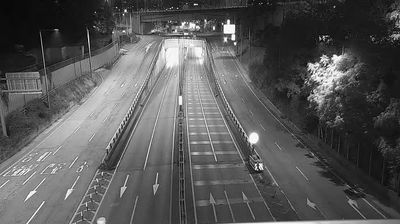
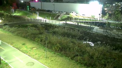
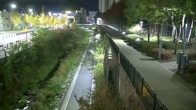
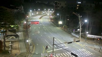
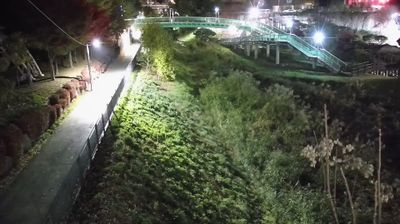
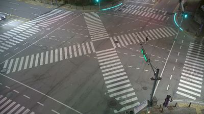
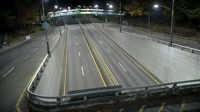

Banwol-dong meets the Suwon–Hwaseong municipal boundary in southern Gyeonggi-do, a position that has connected it to the expanding Dongtan and Suwon urban area. This is densely settled inland territory within the wider Seoul Capital Area, shaped by residential neighbourhoods, major workplaces and transport corridors rather than coastal scenery. Hwaseong’s Yongjusa Temple was rebuilt in 1790 by King Jeongjo in memory of his father, Crown Prince Sado. Move on to other webcams in Gyeonggi-do to compare urban settings across the province.
1 webcam
Gyeonggi-do stretches from the Yellow Sea coast to the border with North Korea, encompassing the Han River basin, broad western lowlands and wooded eastern hills. It surrounds Seoul on most sides and is South Korea’s most populous province, where satellite cities, farmland and industrial districts lie close together. The Han River and its tributaries have long linked this area to the capital region. In Suwon, Hwaseong Fortress, built for King Jeongjo in the late 18th century, is a UNESCO World Heritage site and a lasting monument to Joseon-era statecraft. Beyond the urban core, the province includes coastal islands, reservoirs and mountain parks. View additional webcams nearby to better understand how Gyeonggi-do relates to Seoul, the Yellow Sea coast and the northern frontier.
40 webcams
South Korea stretches from the mountainous border with North Korea to Jeju Island, encompassing forested ranges, fertile river basins and a deeply indented southern coast. The Taebaek Mountains run along much of the east, while the Han River crosses Seoul before reaching the Yellow Sea. Busan faces the Korea Strait, and tidal flats and islands shape the country’s western shore. Seoul combines dense contemporary districts with royal Joseon sites, including Gyeongbokgung Palace, first built in 1395. Kimchi and bibimbap are central to everyday cuisine, while the Korean alphabet, Hangeul, was created in the 15th century. Find related webcams in the surrounding area to build a fuller picture of South Korea’s coasts, mountains and cities.
162 webcams