 Bydgoszcz: Panorama Osiedla Leśnego na żywo
Bydgoszcz lies along the Brda River, whose wooded banks and broad lowland setting shape this regional city in north-central Poland. The Brda meets the Vistula on the city’s eastern side, while the Bydgoszcz Canal, built in the 1770s, connected the Vistula basin with the Oder waterway through the Noteć. Mill Island (Wyspa Młyńska) preserves the former milling quarter and is edged by historic granaries. Bydgoszcz’s centre combines 19th-century streets, waterside promenades and major cultural institutions, including Opera Nova. Residential districts extend beyond the core amid parks and mature trees, giving the city a green, spacious urban character.
Generated by AI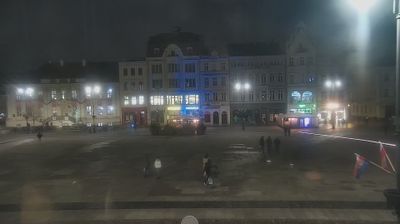


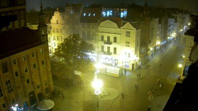



Few cities in Kuyavian-Pomeranian Voivodeship have a history as closely tied to inland navigation as Bydgoszcz. The Brda runs through the centre before joining the Vistula nearby, while the 18th-century Bydgoszcz Canal linked the Brda with the Noteć and formed part of a route between the Vistula and Oder basins. Mill Island, set among the river channels, preserves the city’s former milling and warehousing setting; its granaries remain an emblem of Bydgoszcz. The red-brick Water Tower and the modern Opera Nova show how industrial heritage and contemporary culture meet by the water. Find related webcams in the Brda and Vistula river region to build a fuller picture of Bydgoszcz.
4 webcams
Kuyavian-Pomeranian Voivodeship has served as an administrative region within Poland since 1999. Set in north-central Poland, it brings together the historic lands of Kuyavia and Pomerelia along the Vistula, the country’s longest river. Toruń, one of its two capitals, is renowned for its preserved medieval Old Town, a UNESCO World Heritage Site, and for its association with Nicolaus Copernicus. Bydgoszcz, the other capital, developed around the Brda River and the Bydgoszcz Canal, a historic waterway linking the Vistula and Oder river systems. Explore how the voivodeship connects Poland’s riverlands by browsing webcams nearby.
20 webcams
Poland stretches from the Baltic Sea coast in the north to the Carpathian Mountains along its southern frontier, encompassing broad lowlands, lake districts and upland ranges. The Vistula, the country’s longest river, links Kraków and Warsaw before reaching the Baltic near Gdańsk, while the Masurian Lake District is defined by a dense network of lakes. Kraków’s historic centre, including Wawel Castle, recalls Poland’s former royal capital; Warsaw’s rebuilt Old Town speaks to the city’s recovery after the Second World War. The Białowieża Forest preserves one of Europe’s last primeval lowland forests and is home to European bison. Follow how Poland’s regions relate to one another by browsing webcams across the country.
711 webcams