Only the last 24 hours of history are available
 Terschelling: Strand Midsland aan Zee
Strand Midsland aan Zee runs along the North Sea shore of Terschelling in the Dutch Wadden Islands, and its exposed position has made dunes and broad sandy beaches central to the island’s identity. Midsland aan Zee is the seaside settlement associated with Midsland, the island’s main village, while the beach forms part of a long coastal belt shaped by wind, tides and shifting sand. Terschelling lies between the North Sea and the Wadden Sea, a UNESCO World Heritage tidal-wetland system. Inland, dune grassland and managed paths lead towards woodland and settlements. The island’s cultural landmark is the Brandaris, a lighthouse in West-Terschelling dating from 1594 and regarded as the Netherlands’ oldest lighthouse.
Generated by AI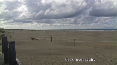
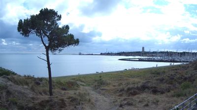




The landscape around Terschelling is a low, wind-shaped island of dunes, salt marshes and broad beaches, which has shaped both the settlement pattern and local economy. Between the North Sea and the Wadden Sea, it forms part of the UNESCO-listed Wadden Sea, where tides continually reshape mudflats and channels. Villages such as West-Terschelling and Midsland remain small and distinct, connected by roads through dunes and farmland. The Brandaris lighthouse in West-Terschelling dates from 1594 and is the Netherlands’ oldest lighthouse. Each June, the island hosts Oerol, a theatre and arts festival held in indoor and outdoor settings. Find related webcams across the Frisian Islands and Wadden Sea coast to build a fuller picture of this tidal region.
3 webcams
Built around peatland waterways, reclaimed fields and dykes, Frisia grew into a distinctive northern Dutch region shaped by farming and water management. Its coast meets the Wadden Sea, whose tidal flats and islands form a UNESCO World Heritage landscape, while the inland Frisian Lakes connect towns, pasture and sailing routes. West Frisian is recognised alongside Dutch in the province, underlining a strong regional identity. Leeuwarden, the provincial capital, was European Capital of Culture in 2018, and the Elfstedentocht skating tour traditionally links eleven Frisian cities when winter ice allows. Move on to other webcams in the region to compare waterside towns, dykes and open fields around Frisia.
20 webcams
Among the countries of northwestern Europe, the Netherlands stands out for its carefully managed lowlands in the Rhine–Meuse–Scheldt delta. Much of the country lies low in relation to the sea, and dikes, dunes, pumps and polders are integral to its everyday geography. The North Sea coast ranges from broad beaches to the Wadden Sea, a tidal area shared with Germany and Denmark. Amsterdam’s 17th-century canal ring recalls an era when Dutch trade connected the republic with ports around the world. Beyond the capital, bicycles, dairy farming, bulb fields and compact historic cities give the country a distinct rhythm. Rotterdam’s port and the Delta Works show how maritime commerce and water engineering remain central. View additional webcams nearby to better understand how the Rhine–Meuse–Scheldt delta relates to its North Sea surroundings.
124 webcams