 Ndilǫ: Mosher Island - Great Slave Lake - Yellowknife Bay
Yellowknife Bay is best known in the Northwest Territories for forming Yellowknife’s waterfront on Great Slave Lake. This broad inlet lies beside Old Town, the city’s original lakeside district, and includes Mosher Island among its rocky, low-lying islands. Great Slave Lake, part of the Mackenzie River system, shapes the setting and Yellowknife’s long connection with boating and floatplanes. Ndilǫ, immediately east of Yellowknife, is a Yellowknives Dene First Nation community. Yellowknife has been the capital of the Northwest Territories since 1967, while the bay remains a working meeting point between the city and the lake.
Generated by AI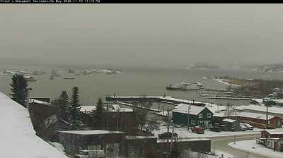
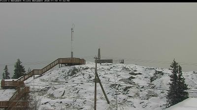
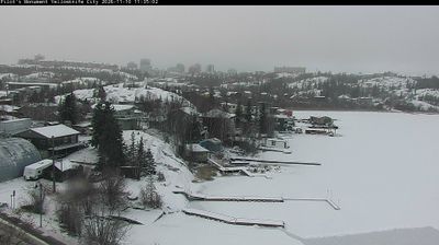
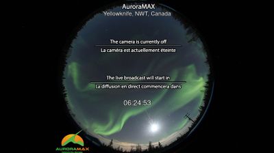

Few communities in the Northwest Territories have a history as closely tied to the Yellowknives Dene as Ndilǫ. Set on a peninsula along the north side of Yellowknife Bay, part of Great Slave Lake, it is one of the two communities of the Yellowknives Dene First Nation, alongside Dettah. Its name means “end of the island,” a fitting reference to its lakeside position. Ndilǫ maintains a distinct Dene community identity amid the boreal forest and granite terrain of the Canadian Shield, close to the regional centre of Yellowknife. Browse additional webcams from the Great Slave Lake area to extend your view of the Northwest Territories.
1 webcam
The Northwest Territories have served as a northern frontier within Canada since 1870. This vast territory is defined by the Mackenzie River, which flows to the Beaufort Sea, and by Great Bear Lake and Great Slave Lake, two of Canada’s largest lakes. Yellowknife, the territorial capital, stands on Great Slave Lake’s northern shore. Dene, Inuvialuit and Métis peoples are central to its living cultures; the territory recognizes 11 official languages, including English and French. Tundra, boreal forest and immense waterways give communities here a strongly seasonal character. Browse additional webcams from the surrounding area to extend your view of the Northwest Territories.
7 webcams
Canada has served as a frontier between French and British colonial powers since the 17th century. The world’s second-largest country extends from Atlantic shores to the Pacific and Arctic coasts, with the Canadian Shield, the Rocky Mountains, the Great Lakes and the St. Lawrence River shaping its vast geography. First Nations, Inuit and Métis peoples are central to Canada’s identity, while Ottawa’s Parliament Hill represents its federal political life. French remains the official language of Quebec, adding a distinct dimension to the country’s public culture. See how Canada connects across North America by browsing webcams in neighbouring regions.
3.5K webcams