 Yellowknife: Canada
Yellowknife extends along the northern shore of Great Slave Lake in Canada’s Northwest Territories, and its lakeside setting helped turn a remote mining camp into the territorial capital. Gold discoveries in the 1930s brought rapid settlement, while the city became the capital of the Northwest Territories in 1967. The older waterfront district, known as Old Town, retains the irregular streets and modest buildings of that boomtown era. Yellowknife stands on the Canadian Shield, where exposed rock and boreal forest meet the vast lake; its modern role centres on government, services and northern transportation. Indigenous Dene cultures remain fundamental to the wider region’s identity.
Generated by AI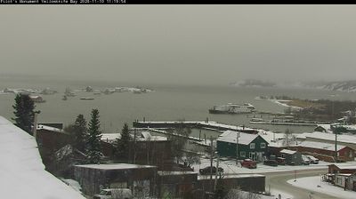
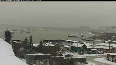
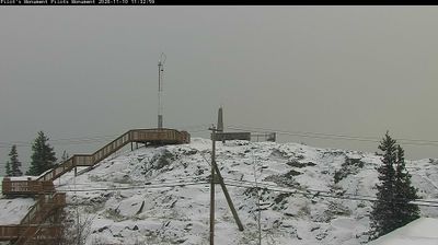
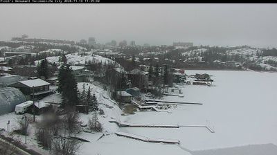

Yellowknife lies along the northern shore of Great Slave Lake, where Canadian Shield bedrock and boreal forest meet the broad waters of one of North America’s deepest lakes. As the capital of the Northwest Territories, it is the region’s administrative centre and an important base for travel across Canada’s North. Old Town recalls the gold-mining boom that established the community in the 1930s, while the Prince of Wales Northern Heritage Centre presents the territory’s cultural and natural history. Winter brings the long dark hours for which Yellowknife is known as an aurora-viewing destination; summer extends daylight far into the evening. Explore nearby webcam locations that provide complementary perspectives on Yellowknife and Great Slave Lake.
3 webcams
The Northwest Territories have served as a northern frontier within Canada since 1870. This vast territory is defined by the Mackenzie River, which flows to the Beaufort Sea, and by Great Bear Lake and Great Slave Lake, two of Canada’s largest lakes. Yellowknife, the territorial capital, stands on Great Slave Lake’s northern shore. Dene, Inuvialuit and Métis peoples are central to its living cultures; the territory recognizes 11 official languages, including English and French. Tundra, boreal forest and immense waterways give communities here a strongly seasonal character. Browse additional webcams from the surrounding area to extend your view of the Northwest Territories.
7 webcams
Canada has served as a frontier between French and British colonial powers since the 17th century. The world’s second-largest country extends from Atlantic shores to the Pacific and Arctic coasts, with the Canadian Shield, the Rocky Mountains, the Great Lakes and the St. Lawrence River shaping its vast geography. First Nations, Inuit and Métis peoples are central to Canada’s identity, while Ottawa’s Parliament Hill represents its federal political life. French remains the official language of Quebec, adding a distinct dimension to the country’s public culture. See how Canada connects across North America by browsing webcams in neighbouring regions.
3.5K webcams