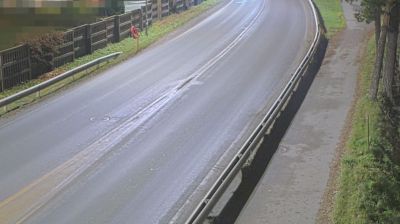
 Flathaugen: Åsåresvegen 145 - Gvarv
Built around fertile farms at the northern end of Lake Norsjø, Gvarv developed into a rural service centre in Midt-Telemark. Åsåresvegen runs through the gently rolling agricultural country outside the settlement, where open fields and orchards meet wooded hills. Gvarv is widely associated with fruit growing, particularly apples, and its Eplefest is a local celebration of growers and produce. Lake Norsjø is a key waterway in the Telemark Canal system, linking inland Telemark with Skien and the coast. The district formed part of Sauherad municipality until its 2020 merger with Bø created Midt-Telemark municipality.
Generated by AI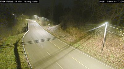




Telemark combines rugged mountain country with calm inland waterways in a way that reflects its position within southeastern Norway. Forested valleys, broad lakes and upland terrain give the region a markedly varied character, from the edge of the Hardangervidda plateau to settled districts further south. The Telemark Canal links Skien and Dalen through lakes and a sequence of historic locks, creating one of Norway’s best-known inland water routes. In Notodden, Heddal Stave Church stands as Norway’s largest surviving stave church, a powerful reminder of the region’s long craft traditions. Browse other webcams across Telemark to place this setting in a wider geographic context.
57 webcams
Norway has served as a seafaring link between the North Atlantic and northern Europe since the Viking Age. Its long coastline is cut by fjords, while the Lofoten archipelago rises sharply from the Norwegian Sea and the mountains of Jotunheimen include Galdhøpiggen, Norway’s highest peak. Bergen’s Bryggen, the former Hanseatic wharf, recalls centuries of maritime trade. Farther north, Sámi culture remains an essential part of the country’s identity. Explore nearby webcam locations that provide complementary perspectives on Norway’s coast, fjords and mountain regions.
1.5K webcams