 Klomset: Seljord døgnhvileplass
The landscape around Klomset is a wooded Telemark valley ringed by steep hills, which has shaped both the built environment and local life. This small locality lies in Seljord municipality beside the E134, one of southern Norway’s principal east–west roads. The route follows the settled valley corridor toward Notodden, where farms, scattered homes and roadside services occupy flatter ground beneath forested slopes. Seljordsvatnet, the long lake associated with the municipality, is central to the area’s geography. Seljord is also known for Dyrsku’n, an agricultural fair held since 1866 that grew from a livestock show into a major regional gathering. Klomset is closely tied to the working road and rural landscape of inland Telemark.
Generated by AI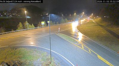


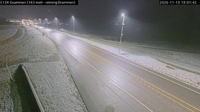



Among the settlements of Telemark, Klomset stands out for its quiet position near Seljordsvatnet, a long inland lake framed by wooded slopes and scattered farms. It lies in the municipality of Seljord, in Norway’s interior rather than along the country’s famous fjord coast. The wider Seljord area is closely tied to the enduring legend of Selma, the alleged lake creature said to inhabit Seljordsvatnet, a story that remains part of local identity. Roads through this part of Telemark connect small communities with forests, lakes and mountain country. Continue through nearby webcams to explore different parts of Seljord and Telemark.
1 webcam
Telemark combines rugged mountain country with calm inland waterways in a way that reflects its position within southeastern Norway. Forested valleys, broad lakes and upland terrain give the region a markedly varied character, from the edge of the Hardangervidda plateau to settled districts further south. The Telemark Canal links Skien and Dalen through lakes and a sequence of historic locks, creating one of Norway’s best-known inland water routes. In Notodden, Heddal Stave Church stands as Norway’s largest surviving stave church, a powerful reminder of the region’s long craft traditions. Browse other webcams across Telemark to place this setting in a wider geographic context.
56 webcams
Norway has served as a seafaring link between the North Atlantic and northern Europe since the Viking Age. Its long coastline is cut by fjords, while the Lofoten archipelago rises sharply from the Norwegian Sea and the mountains of Jotunheimen include Galdhøpiggen, Norway’s highest peak. Bergen’s Bryggen, the former Hanseatic wharf, recalls centuries of maritime trade. Farther north, Sámi culture remains an essential part of the country’s identity. Explore nearby webcam locations that provide complementary perspectives on Norway’s coast, fjords and mountain regions.
1.5K webcams