 Wallace Takitimu Community: Otautau
Otautau lies along the Aparima River, a low rural settlement on western Southland’s plains, with the Takitimu Mountains rising inland. The town stands on State Highway 6 within the Wallace Takitimu Community and serves the pastoral country around it. Sheep and dairy farming shape this part of Southland, while shelterbelts, paddocks and mature trees give the district a spacious, settled character. The Aparima continues south towards Foveaux Strait near Riverton. Otautau reflects the long-established role of New Zealand country towns: linking dispersed farms with shops, schools and everyday services across a large rural area.
Generated by AI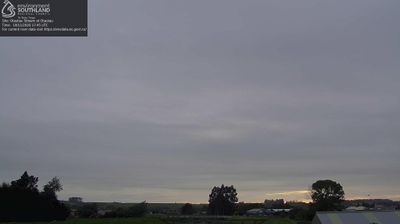

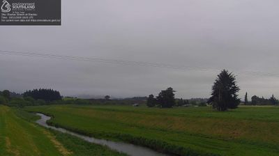
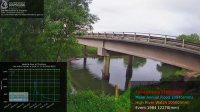



Few places in Southland have a history as closely tied to coal mining as Wallace Takitimu Community. Around Nightcaps and Ohai, coalfields supported settlements, rail connections and generations of local work, leaving an industrial thread in a region otherwise defined by sheep and dairy farming. The Takitimu Mountains rise to the east, giving this inland part of Southland a clear high-country horizon, while the wider Wallace district extends toward the southern coast. Former mining towns and farming communities convey a quieter, practical side of the province, away from New Zealand’s better-known alpine and urban routes. Explore nearby webcam locations that provide complementary perspectives on Southland’s western interior.
4 webcams
Southland occupies New Zealand’s southern mainland, between Fiordland’s mountains and the waters of Foveaux Strait. Its western reaches are shaped by Fiordland National Park, where deep fiords, rainforest and lakes such as Te Anau define a far more rugged character than the region’s eastern plains. The Waiau River links the inland lakes with the coast, while Rakiura/Stewart Island lies beyond the strait. Farming remains central to Southland’s identity, alongside the celebrated Bluff oyster fishery. Continue through nearby webcams to explore different parts of Southland.
33 webcams
New Zealand combines Pacific isolation with strong ties to the wider South Pacific in a way that reflects its position between the Tasman Sea and the open Pacific Ocean. The country’s two main islands are divided by Cook Strait, while the Southern Alps run along much of the South Island and include Aoraki / Mount Cook, its highest mountain. On the North Island, volcanic terrain shapes Tongariro National Park and the central plateau; long coastlines frame cities such as Auckland and Wellington. Māori culture is central to national life, and the Treaty of Waitangi, first signed in 1840, remains a foundational document in relations between Māori and the Crown. See how New Zealand fits within the wider South Pacific by browsing webcams nearby.
491 webcams