 Invercargill
 straddles the Waihopai River in Southland, a low-lying position on the Southland Plains that has shaped it into the commercial centre of New Zealand’s far south. The country’s southernmost city is arranged on a broad street grid, with suburban districts extending beyond its compact centre. Its name honours William Cargill, an early Otago settler; the Scots word “inver” refers to a river mouth. Scottish heritage remains part of the city’s identity, while farming is central to the wider Southland economy. Invercargill’s landmarks include the brick Water Tower, completed in 1889, and Queens Park, a large public green space. The Waihopai continues southwest towards the New River Estuary and Foveaux Strait.
Generated by AI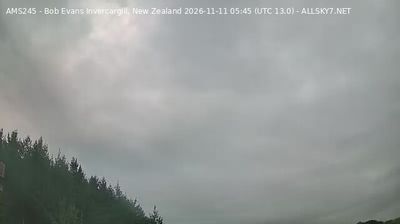
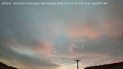
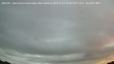
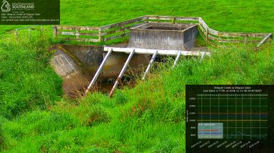



Invercargill straddles the Waihopai River on the Southland Plains in New Zealand’s far south, a position that has established it as Southland’s principal urban centre. The city’s unusually broad, planned streets and many Scottish names recall the 19th-century settlement that grew here. Queen’s Park provides a large central green space, while the 1889 Invercargill Water Tower remains a distinctive brick landmark. Beyond town, the Waihopai reaches the New River Estuary, part of the coast opening toward Foveaux Strait. Find related webcams across Southland to build a fuller picture of Invercargill and its southern coast.
4 webcams
Southland occupies New Zealand’s southern mainland, between Fiordland’s mountains and the waters of Foveaux Strait. Its western reaches are shaped by Fiordland National Park, where deep fiords, rainforest and lakes such as Te Anau define a far more rugged character than the region’s eastern plains. The Waiau River links the inland lakes with the coast, while Rakiura/Stewart Island lies beyond the strait. Farming remains central to Southland’s identity, alongside the celebrated Bluff oyster fishery. Continue through nearby webcams to explore different parts of Southland.
32 webcams
New Zealand combines Pacific isolation with strong ties to the wider South Pacific in a way that reflects its position between the Tasman Sea and the open Pacific Ocean. The country’s two main islands are divided by Cook Strait, while the Southern Alps run along much of the South Island and include Aoraki / Mount Cook, its highest mountain. On the North Island, volcanic terrain shapes Tongariro National Park and the central plateau; long coastlines frame cities such as Auckland and Wellington. Māori culture is central to national life, and the Treaty of Waitangi, first signed in 1840, remains a foundational document in relations between Māori and the Crown. See how New Zealand fits within the wider South Pacific by browsing webcams nearby.
482 webcams