 Petalino
Kaimaktsalan Ski Center has served as a winter-sports base in Greece’s Voras Mountains since 1995. It occupies high ground below Kaimaktsalan, the 2,524-metre summit of Mount Voras, which forms part of the border with North Macedonia. The centre extends across open mountain slopes, with pistes, lifts and service buildings set apart from any large resort town. Its terrain belongs to the Pella highlands, a sparsely settled section of the central Balkans shaped by the border range. Kaimaktsalan is the usual name for both the summit and the ski area, while the mountain range is known as Nidže on the North Macedonian side. Roads and lift infrastructure give this remote part of Voras a clear recreational role.
Generated by AI


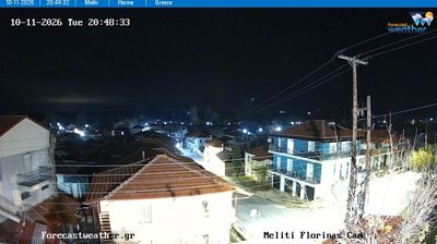

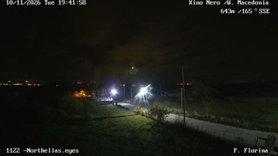
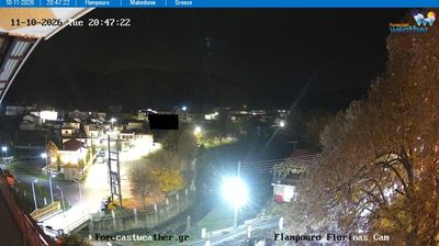


Petalino is best known within North Macedonia for its setting in the secluded Mariovo region of Pelagonia. This small rural settlement lies in the country’s south, where the broad Pelagonia basin gives way to a rugged, sparsely populated interior. The Crna River is Mariovo’s principal watercourse, running through a terrain of hills, fields and scattered villages. Petalino belongs to Novaci Municipality, whose territory stretches from the Pelagonia plain towards the Greek border. Its agricultural surroundings and quiet local roads reflect a less urban side of North Macedonia. Continue through nearby webcams to explore different parts of Mariovo and Pelagonia.
1 webcam
Municipality of Novaci has served as a frontier district within North Macedonia’s southern borderlands since the early 20th century. It extends south of Bitola across the Pelagonia plain toward the Greek border, where the Crna River and open farmland give way to the rugged slopes of the Nidže range. Kajmakčalan, on the border ridge, is associated with fighting on the Macedonian Front in the First World War. The municipality also reaches into Mariovo, a sparsely settled upland area whose stone-built settlements and pastoral traditions contrast with the cultivated plain. Continue through nearby webcams to explore different parts of the Municipality of Novaci.
3 webcams
The Vardar River valley defines much of North Macedonia — its route through the country has concentrated farms, roads and major towns between mountain ranges. Lake Ohrid, shared with Albania, gives the southwest a different character: an ancient lake beside the historic city of Ohrid and its UNESCO-listed natural and cultural heritage. Skopje, the capital, combines the Ottoman-era Old Bazaar with newer districts on both sides of the Vardar. Elsewhere, the Šar Mountains, Mavrovo National Park and the Pelister range frame a compact country of highland pastures, forests and agricultural basins. Food traditions draw on Balkan and Mediterranean influences, with peppers, beans and local wines prominent. Move on to other webcams in the region to compare landscapes and settings around North Macedonia.
19 webcams