 Zhivojno
Among the settlements of the Florina regional unit, Meliti stands out for its position on the broad Pelagonia plain near Greece’s northern frontier. Known historically as Neveska, the village adopted the name Meliti in 1926, reflecting the changing names and identities of this western Macedonian borderland. Low-rise homes with tiled roofs and cultivated plots give the settlement a distinctly rural form, while the surrounding plain opens towards the mountains framing the Florina basin. Florina, the regional centre, lies to the southeast. Meliti’s streets reflect everyday village life rather than a resort setting, with houses, small local businesses and farmland closely interwoven. Its setting is characteristic of the agricultural communities on the Greek side of Pelagonia.
Generated by AI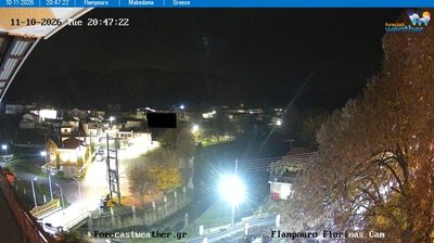





Among the settlements of Pelagonia Region, Zhivojno stands out for its position on the southern edge of the Pelagonia plain, close to North Macedonia’s border with Greece. It belongs to the Municipality of Novaci, a predominantly rural area south of Bitola. The broad Pelagonia basin is one of the country’s principal farming landscapes, while the Nidže mountain range rises farther east along the frontier. Zhivojno reflects the quiet, agricultural character of this sparsely populated borderland, away from the larger urban centres of the region. Find related webcams in the surrounding area to build a fuller picture of southern Pelagonia.
1 webcam
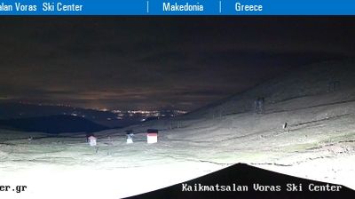
Municipality of Novaci has served as a frontier district within North Macedonia’s southern borderlands since the early 20th century. It extends south of Bitola across the Pelagonia plain toward the Greek border, where the Crna River and open farmland give way to the rugged slopes of the Nidže range. Kajmakčalan, on the border ridge, is associated with fighting on the Macedonian Front in the First World War. The municipality also reaches into Mariovo, a sparsely settled upland area whose stone-built settlements and pastoral traditions contrast with the cultivated plain. Continue through nearby webcams to explore different parts of the Municipality of Novaci.
3 webcams
The Vardar River valley defines much of North Macedonia — its route through the country has concentrated farms, roads and major towns between mountain ranges. Lake Ohrid, shared with Albania, gives the southwest a different character: an ancient lake beside the historic city of Ohrid and its UNESCO-listed natural and cultural heritage. Skopje, the capital, combines the Ottoman-era Old Bazaar with newer districts on both sides of the Vardar. Elsewhere, the Šar Mountains, Mavrovo National Park and the Pelister range frame a compact country of highland pastures, forests and agricultural basins. Food traditions draw on Balkan and Mediterranean influences, with peppers, beans and local wines prominent. Move on to other webcams in the region to compare landscapes and settings around North Macedonia.
19 webcams