 Florina
Polipotamos has served as a rural settlement in western Macedonia since the early 20th century. Set among low, wooded hills in the Florina regional unit, it has the compact scale of an inland Greek community, where tiled-roof houses, local roads and cultivated plots meet at the village edge. Its Greek name means “many rivers”. The wider Florina area belongs to the mountainous interior between Lake Prespa and the North Macedonian border. Florina, the regional centre, is known for its streets along the Sakoulevas River and for the red peppers grown on the surrounding plain.
Generated by AI




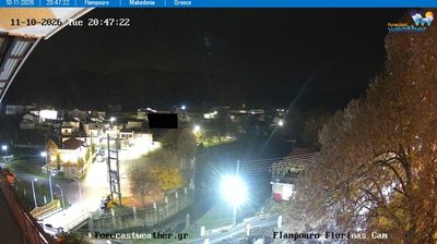

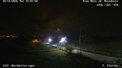
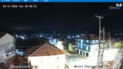

Florina lies along the Sakoulevas River, in a high inland valley framed by the mountains of western Macedonia. River walks and broad streets give the regional capital a measured, everyday rhythm, while its proximity to the borders with North Macedonia and Albania has long placed it at a crossroads of the Balkans. The Archaeological Museum of Florina preserves discoveries from the wider area, connecting the modern town to Macedonia’s deep antiquity. West of the city, the Prespa basin brings lakes and wetland habitats into the regional map; winter conditions here are notably colder than in much of Greece. Find related webcams around Florina and western Macedonia to gain a broader sense of the region.
5 webcams
The terrain of Epirus and Western Macedonia ranges from the Ionian coastal plains of western Epirus to the mountain basins of Western Macedonia in the east, giving this northwestern Greek region a strongly continental interior. The Pindus range runs through its heart, while the Aoos River cuts through rugged country near Konitsa. In Zagori, stone-built settlements and arched bridges form a cultural landscape inscribed on UNESCO’s World Heritage List in 2023. Ioannina, beside Lake Pamvotida, adds a major urban counterpoint, with a walled old quarter shaped by Byzantine and Ottoman periods. Discover other points of interest through webcams located across Epirus and Western Macedonia.
65 webcams
Greece occupies a mountainous peninsula and island-dotted coastline in southeastern Europe. The Aegean Sea shapes its eastern shore, while the Ionian Sea lies to the west; Crete is the country’s largest island. Athens is anchored by the Acropolis, where the Parthenon has stood since the fifth century BCE as a defining monument of classical antiquity. Beyond the capital, the Pindus Mountains run through the mainland, and Mount Olympus is associated in ancient Greek religion with the home of the gods. Greek food traditions centre on olive oil, seafood, cheeses and regional dishes, with long meals remaining an important part of social life. Continue through nearby webcams to explore the islands and mainland regions of Greece.
504 webcams