 Havelock North
 straddles the transition from Te Mata Peak’s lower slopes to the Heretaunga Plains in Hawke’s Bay, and that position has shaped its orchard and vineyard setting. This leafy settlement forms part of one of New Zealand’s leading wine regions, where grape growing sits alongside stone-fruit farms. Te Mata Estate, founded here in 1896, is a local landmark of that tradition. Te Mata Peak’s public walking and cycling tracks rise above the town, while the wider Hawke’s Bay landscape connects Havelock North with the coast, the plains and nearby Hastings. Vineyards, cellar doors and low-density residential streets give the area a distinctly rural-urban character.
Generated by AI
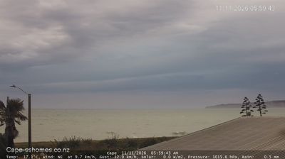
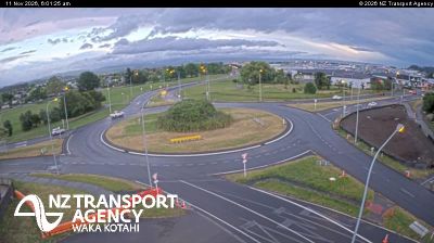
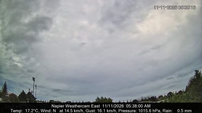


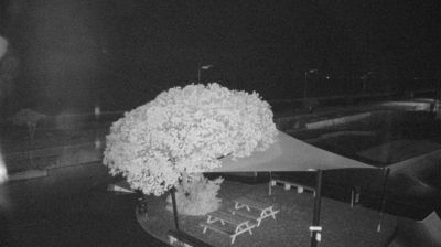
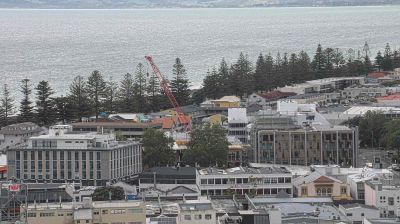
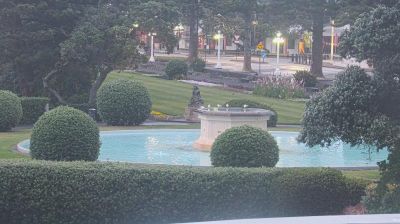


Havelock North combines a leafy town centre with a working wine-and-orchard economy in a way that reflects its position beneath Te Mata Peak in Hawke’s Bay. The settlement lies at the edge of the Heretaunga Plains, with the Tukituki River running south of town and walking tracks leading through Te Mata Peak’s redwood groves. Vineyards and fruit growing shape the local surroundings, supported by Hawke’s Bay’s sunny, relatively dry climate. Te Mata Estate, established in 1896, is among New Zealand’s oldest wineries and represents the region’s longstanding wine tradition. Browse additional webcams from the surrounding Hawke’s Bay area to extend your view of Havelock North and its wine country.
1 webcam
Hawke’s Bay has served as an agricultural heartland within New Zealand since the late nineteenth century. Framed by the Pacific waters of Hawke Bay on the North Island’s east coast, it combines dry, sunny plains with river valleys and the hills around Te Mata Peak. Vineyards, orchards and sheep farms remain central to the local economy, and the region is widely associated with wine and fresh produce. Napier provides its urban focus: much of its centre was rebuilt in Art Deco style after the 1931 Hawke’s Bay earthquake. Māori heritage is also fundamental here, with Ngāti Kahungunu among the region’s principal iwi. Continue through nearby webcams to explore different parts of Hawke’s Bay.
13 webcams
New Zealand combines Pacific isolation with strong ties to the wider South Pacific in a way that reflects its position between the Tasman Sea and the open Pacific Ocean. The country’s two main islands are divided by Cook Strait, while the Southern Alps run along much of the South Island and include Aoraki / Mount Cook, its highest mountain. On the North Island, volcanic terrain shapes Tongariro National Park and the central plateau; long coastlines frame cities such as Auckland and Wellington. Māori culture is central to national life, and the Treaty of Waitangi, first signed in 1840, remains a foundational document in relations between Māori and the Crown. See how New Zealand fits within the wider South Pacific by browsing webcams nearby.
482 webcams