 Napier
 stretches between Hawke Bay and the Heretaunga Plains on New Zealand’s North Island, a position that has made it the commercial centre of the Hawke’s Bay region. The city was devastated by the 1931 Hawke’s Bay earthquake and rebuilt rapidly in the architectural languages of the period; its concentration of Art Deco buildings is now its defining urban signature. Marine Parade traces the waterfront, while residential districts extend across the plain toward the inland foothills. Napier is closely tied to Hawke’s Bay vineyards, orchards and food production, and its port at Ahuriri handles cargo for the wider region. The contrast between the planned rebuilt centre, suburban streets and working harbour gives this coastal city a distinct New Zealand character.
Generated by AI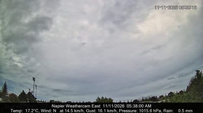

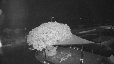
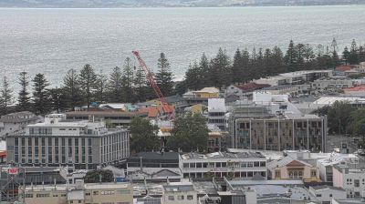
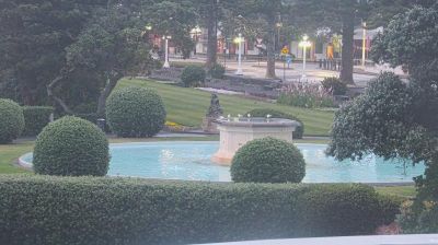
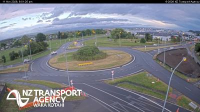

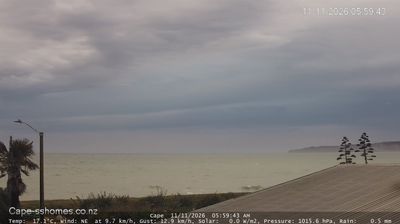

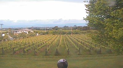

Napier is best known in New Zealand for its remarkable concentration of Art Deco architecture, created during the rebuilding that followed the devastating 1931 Hawke’s Bay earthquake. Set on the shores of Hawke Bay on the Pacific Ocean, the city has a broad seafront along Marine Parade and a compact centre where geometric façades, sunbursts and period signage remain part of everyday streetscapes. The annual Art Deco Festival celebrates this legacy with vintage dress, vehicles and music, while the National Aquarium of New Zealand anchors the waterfront. Napier also sits at the heart of Hawke’s Bay, one of the country’s established wine regions. Browse additional webcams from Hawke’s Bay to extend your view of Napier’s coast.
8 webcams
Hawke’s Bay has served as an agricultural heartland within New Zealand since the late nineteenth century. Framed by the Pacific waters of Hawke Bay on the North Island’s east coast, it combines dry, sunny plains with river valleys and the hills around Te Mata Peak. Vineyards, orchards and sheep farms remain central to the local economy, and the region is widely associated with wine and fresh produce. Napier provides its urban focus: much of its centre was rebuilt in Art Deco style after the 1931 Hawke’s Bay earthquake. Māori heritage is also fundamental here, with Ngāti Kahungunu among the region’s principal iwi. Continue through nearby webcams to explore different parts of Hawke’s Bay.
13 webcams
New Zealand combines Pacific isolation with strong ties to the wider South Pacific in a way that reflects its position between the Tasman Sea and the open Pacific Ocean. The country’s two main islands are divided by Cook Strait, while the Southern Alps run along much of the South Island and include Aoraki / Mount Cook, its highest mountain. On the North Island, volcanic terrain shapes Tongariro National Park and the central plateau; long coastlines frame cities such as Auckland and Wellington. Māori culture is central to national life, and the Treaty of Waitangi, first signed in 1840, remains a foundational document in relations between Māori and the Crown. See how New Zealand fits within the wider South Pacific by browsing webcams nearby.
495 webcams