 Kingston Parish
Among the places of New Brunswick, Quispamsis stands out for its wooded setting along the lower Kennebecasis River. It forms part of the Saint John metropolitan area, where residential streets and wooded lots meet a broad, tidal river corridor. The Kennebecasis, a tributary of the Saint John River, gives the community an extensive shoreline and connects it to the larger river system. Quispamsis was incorporated as a town in 1982, while its name has older Wolastoqey roots and is commonly interpreted as “little lake in the woods.” Although close to Saint John, the town has retained a low-density pattern of neighbourhoods, local roads and riverside land that differs from the region’s urban core.
Generated by AI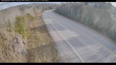

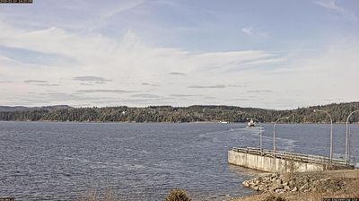


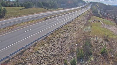


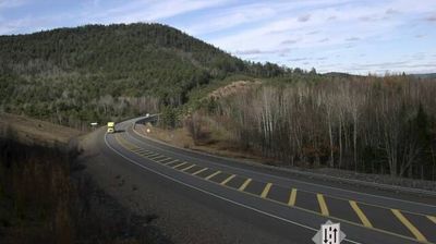
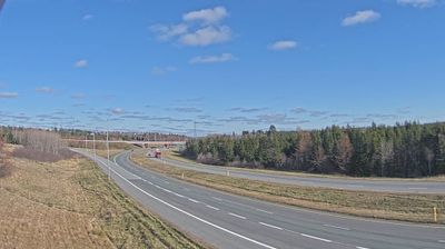

Kingston Parish lies along the Saint John River in southern New Brunswick, where the Kingston Peninsula is defined by broad tidal water, wooded shorelines and open farmland. This is a rural civil parish rather than a single built-up town, with small communities spread across the peninsula and around its coves. The river remains central to local travel: the Kingston Peninsula ferry provides a road link across the Saint John to Westfield. Loyalist settlement after the American Revolution left a lasting mark on the area’s communities. Discover how Kingston Parish connects with southern New Brunswick by browsing webcams nearby.
1 webcam
New Brunswick occupies a forested Atlantic province in eastern Canada. The Saint John River runs through its interior toward the Bay of Fundy, whose exceptional tidal range shapes dramatic coastal mudflats, cliffs, and fishing communities. Fredericton, the provincial capital, stands on the river, while the province’s cities and rural districts reflect both Acadian and anglophone traditions. New Brunswick is Canada’s only officially bilingual province, with French and English integral to public life. Browse other webcams across Atlantic Canada to place New Brunswick in a wider geographic context.
51 webcams
Canada has served as a frontier between French and British colonial powers since the 17th century. The world’s second-largest country extends from Atlantic shores to the Pacific and Arctic coasts, with the Canadian Shield, the Rocky Mountains, the Great Lakes and the St. Lawrence River shaping its vast geography. First Nations, Inuit and Métis peoples are central to Canada’s identity, while Ottawa’s Parliament Hill represents its federal political life. French remains the official language of Quebec, adding a distinct dimension to the country’s public culture. See how Canada connects across North America by browsing webcams in neighbouring regions.
3.5K webcams