 Rothesay Parish
Rothesay has served as a residential community in the Kennebecasis Valley of southern New Brunswick since the 19th century. Set near the tidal Kennebecasis River, it forms part of the Saint John metropolitan area, where wooded neighbourhoods and riverside properties extend beyond the urban core. Route 1, a major Trans-Canada Highway corridor, runs beside the town and connects the Saint John area with Moncton and Nova Scotia. Rothesay developed as a summer retreat for Saint John families, and 19th-century homes and former estates still contribute to its built heritage. The highway also reflects the town’s role as a well-connected suburban centre.
Generated by AI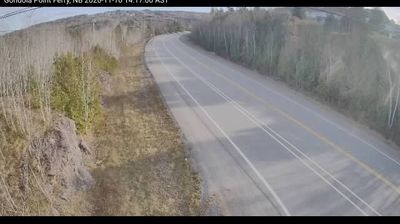

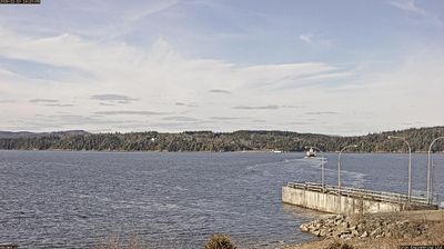


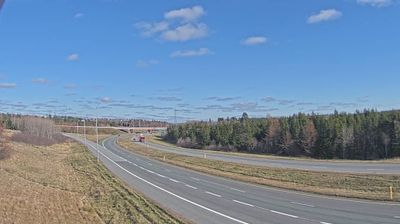


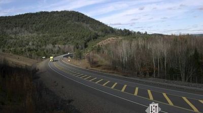
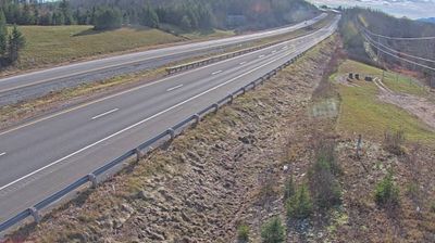

Rothesay Parish lies along the Kennebecasis River, a tidal waterway whose broad valley leads toward the Saint John River and the Bay of Fundy. Centred on the town of Rothesay, this residential part of greater Saint John combines wooded riverbanks with established neighbourhoods, marinas and public shoreline spaces. The area developed in the 19th century as a summer retreat for Saint John families, a legacy reflected in older homes and the long-standing Rothesay Common. Rothesay Netherwood School, an independent school with roots in the 19th century, is another local institution. Browse other webcams across New Brunswick to place this Kennebecasis River setting in a wider geographic context.
2 webcams
New Brunswick occupies a forested Atlantic province in eastern Canada. The Saint John River runs through its interior toward the Bay of Fundy, whose exceptional tidal range shapes dramatic coastal mudflats, cliffs, and fishing communities. Fredericton, the provincial capital, stands on the river, while the province’s cities and rural districts reflect both Acadian and anglophone traditions. New Brunswick is Canada’s only officially bilingual province, with French and English integral to public life. Browse other webcams across Atlantic Canada to place New Brunswick in a wider geographic context.
51 webcams
Canada has served as a frontier between French and British colonial powers since the 17th century. The world’s second-largest country extends from Atlantic shores to the Pacific and Arctic coasts, with the Canadian Shield, the Rocky Mountains, the Great Lakes and the St. Lawrence River shaping its vast geography. First Nations, Inuit and Métis peoples are central to Canada’s identity, while Ottawa’s Parliament Hill represents its federal political life. French remains the official language of Quebec, adding a distinct dimension to the country’s public culture. See how Canada connects across North America by browsing webcams in neighbouring regions.
3.5K webcams