 Baborow
Baborów occupies gently rolling agricultural land in Poland’s Opole Voivodeship. The small town stands on the Psina, an Oder tributary, close to the Czech border and within the historic region of Upper Silesia. Its compact centre is marked by a parish church tower, low-rise streets and detached homes, while fields and tree belts begin beyond the built-up area. Baborów received town rights in 1340, reflecting its place in the medieval network of Silesian market towns. Today it serves as a local centre for the surrounding farming countryside rather than a large urban destination.
Generated by AI
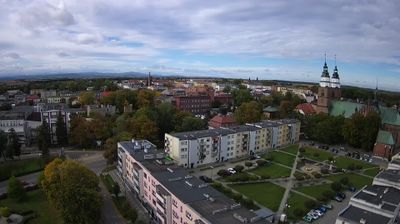
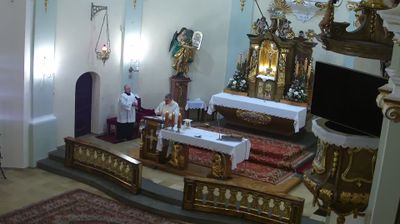

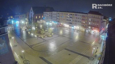
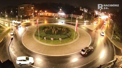
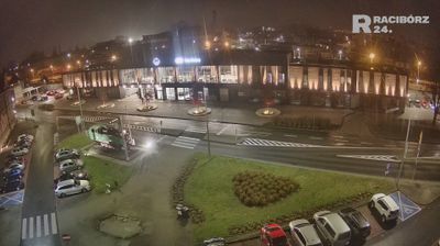


Baborów lies along the Psina River, amid the low, open farmland of southern Opole Voivodeship near Poland’s border with the Czech Republic. This small town belongs to historic Upper Silesia, a region whose Polish, Czech and German connections have long shaped its borderland identity. Around the market square, Baborów retains the compact scale of a traditional local centre, while the Church of the Nativity of the Blessed Virgin Mary is among its recognisable historic buildings. The surrounding Głubczyce Plateau gives the area a distinctly rural character. Discover other points of interest through webcams located across Baborów and Opole Voivodeship.
1 webcam
The terrain of Opole Voivodeship extends from the low, fertile Oder Valley in the north to the foothills of the Sudetes in the south, giving the region a varied yet mostly gentle character. The Oder, Poland’s second-longest river, runs through the regional capital of Opole, a historic Silesian city known for its old town and annual National Festival of Polish Song. South of the city, Mount St Anne is an important pilgrimage destination, while Brzeg is noted for its Renaissance Piast Castle. These places reflect the voivodeship’s position at the meeting point of river plains, uplands and Silesian traditions. Find related webcams in the surrounding area to build a fuller picture of Opole Voivodeship.
24 webcams
Poland stretches from the Baltic Sea coast in the north to the Carpathian Mountains along its southern frontier, encompassing broad lowlands, lake districts and upland ranges. The Vistula, the country’s longest river, links Kraków and Warsaw before reaching the Baltic near Gdańsk, while the Masurian Lake District is defined by a dense network of lakes. Kraków’s historic centre, including Wawel Castle, recalls Poland’s former royal capital; Warsaw’s rebuilt Old Town speaks to the city’s recovery after the Second World War. The Białowieża Forest preserves one of Europe’s last primeval lowland forests and is home to European bison. Follow how Poland’s regions relate to one another by browsing webcams across the country.
718 webcams