 Meguro
The Musashino Plateau defines the setting of Meguro — its gently varied ground is built over by close-set homes, local shopping streets and rail-linked neighbourhoods in southern Tokyo. Although it is one of Tokyo’s 23 special wards, Meguro has a strongly residential texture beyond its busier corridors, where narrow plots and small businesses sit beside everyday streets. The Meguro River runs through the ward and is lined with cherry trees, making its banks one of the capital’s best-known places for hanami, the custom of gathering beneath blossoms. Meguro also contains the Meguro Museum of Art, a municipal institution founded in 1987. This is Tokyo at a neighbourhood scale: orderly crossings, compact buildings and the constant movement of a vast metropolis.
Generated by AI
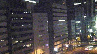
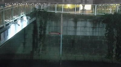
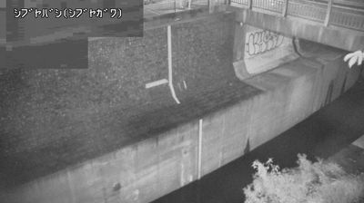
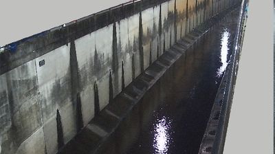


Meguro combines residential calm with the pace of a major metropolis in a way that reflects its position on Tokyo’s southwestern inner side. The Meguro River runs through the ward, and its cherry-tree-lined banks around Nakameguro attract large seasonal crowds when blossoms open in spring. Beyond that corridor, low-rise streets, local shopping areas and rail links lend the district a more everyday character than Tokyo’s central business quarters. The Tokyo Metropolitan Teien Art Museum occupies the former residence of Prince Asaka, an Art Deco building completed in 1933. Browse other webcams across Tokyo to compare urban settings around Meguro.
3 webcams
Tokyo stretches from the Okutama Mountains to the Izu and Ogasawara island groups, encompassing urban lowlands, forested uplands and volcanic Pacific islands. These coordinates fall on Izu Oshima, the largest of the Izu Islands, where Mount Mihara forms the island’s volcanic core. Black-sand shores and lava terrain contrast with the capital’s built-up centre, showing how far Tokyo’s administrative territory reaches into the ocean. Izu Oshima is closely associated with camellias, and Oshima Tsubaki oil remains a recognised local product. Ferry links from the mainland make the island part of Tokyo’s wider maritime setting. See how Tokyo connects mainland Japan with its Pacific islands by browsing webcams nearby.
212 webcams
Among the countries of East Asia, Japan stands out for its volcanic archipelago, stretching from the cool north of Hokkaido to subtropical Okinawa. Mount Fuji, the nation’s highest mountain, rises above central Honshu, while the Pacific Ocean and the Seto Inland Sea have long shaped settlement, fishing and travel. Tokyo pairs dense urban life with major museums and neighbourhood traditions; Kyoto preserves temples, gardens and the legacy of Japan’s imperial court. Seasonal customs give journeys a changing rhythm, from spring cherry blossom viewing to autumn leaves. Regional cooking is equally varied, with sushi, ramen and local specialties reflecting coastlines, climate and agriculture. Explore nearby webcam locations that provide complementary perspectives on Japan’s islands, cities and mountain regions.
1.3K webcams