 Shibuya: NSW Nippon System Software Co., Ltd. Head Office - 31-11 Sakuragaokachō - Metropolitan Expressway Route No.3 Shibuya Line
Few places in Tokyo have a history as closely tied to railway development as Shibuya. The district grew around Shibuya Station, which became one of Tokyo’s major interchange areas after the former Tamagawa Electric Railway reached it in 1907. Sakuragaokacho, south of the station, is a dense business quarter where office buildings, railway infrastructure and Metropolitan Expressway Route 3 Shibuya Line share limited urban space. Route 3 forms Tokyo’s end of the road link towards the Tomei Expressway, while local streets feed the commercial centre. Nearby, the Shibuya River follows a heavily engineered course through the ward. Shibuya’s cultural identity is also closely associated with the Hachiko statue outside the station, commemorating the dog remembered for returning to wait for his owner.
Generated by AI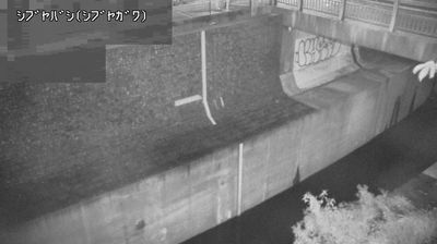
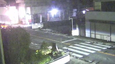

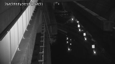

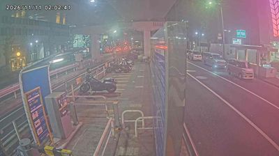
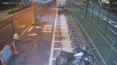
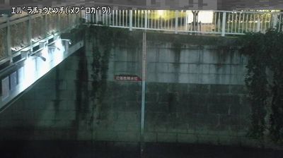
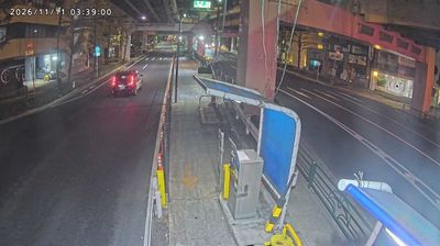


Built around the rail junction at Shibuya Station, Shibuya grew into one of Tokyo’s leading centres for shopping, fashion and entertainment. The district lies along the Shibuya River, much of which now runs in covered channels beneath the city, and its busy streets link easily with Harajuku, Omotesando and Daikanyama. Outside the station, Shibuya Crossing has become an emblem of Tokyo’s pedestrian rhythm. The nearby bronze statue of Hachikō commemorates the dog that kept returning to wait for his owner, Professor Hidesaburō Ueno, after his death in 1925. Department stores, music venues, cinemas and independent labels continue to shape Shibuya’s youth-oriented culture. See how Shibuya fits into the wider Tokyo metropolis by browsing webcams nearby.
1 webcam
Tokyo stretches from the Okutama Mountains to the Izu and Ogasawara island groups, encompassing urban lowlands, forested uplands and volcanic Pacific islands. These coordinates fall on Izu Oshima, the largest of the Izu Islands, where Mount Mihara forms the island’s volcanic core. Black-sand shores and lava terrain contrast with the capital’s built-up centre, showing how far Tokyo’s administrative territory reaches into the ocean. Izu Oshima is closely associated with camellias, and Oshima Tsubaki oil remains a recognised local product. Ferry links from the mainland make the island part of Tokyo’s wider maritime setting. See how Tokyo connects mainland Japan with its Pacific islands by browsing webcams nearby.
222 webcams
Among the countries of East Asia, Japan stands out for its volcanic archipelago, stretching from the cool north of Hokkaido to subtropical Okinawa. Mount Fuji, the nation’s highest mountain, rises above central Honshu, while the Pacific Ocean and the Seto Inland Sea have long shaped settlement, fishing and travel. Tokyo pairs dense urban life with major museums and neighbourhood traditions; Kyoto preserves temples, gardens and the legacy of Japan’s imperial court. Seasonal customs give journeys a changing rhythm, from spring cherry blossom viewing to autumn leaves. Regional cooking is equally varied, with sushi, ramen and local specialties reflecting coastlines, climate and agriculture. Explore nearby webcam locations that provide complementary perspectives on Japan’s islands, cities and mountain regions.
1.3K webcams