 Komenda: R2-413, Vodice - Moste, Moste pri Komendi
The Ljubljana Basin defines the setting of Moste pri Komendi — a lowland settlement where local roads and homes extend across the plain between Ljubljana and Kamnik. Moste belongs to the Municipality of Komenda, an area where a traditional farming landscape has gradually been joined by suburban housing and small businesses. The nearby settlement of Komenda retains a historical connection to the Knights Hospitaller: its name derives from a commandery, or komenda. Beyond the built-up streets, the basin opens towards the Kamnik–Savinja Alps, which form the northern mountain rim of this part of central Slovenia. It is a well-connected everyday settlement within the wider Ljubljana urban region.
Generated by AI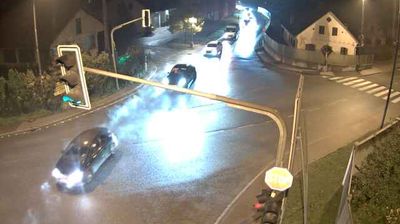
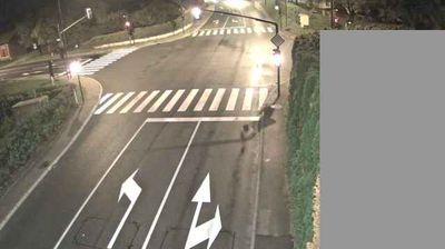

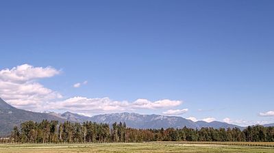

Few towns in the Kamnik administrative area have a history as closely tied to the medieval commandery of the Knights Hospitaller as Komenda. Its name recalls the commandery, once a holding of the order in Carniola, while the Church of St Peter remains at the settlement’s centre. Komenda lies on the Pšata in the Ljubljana Basin, with the Kamnik–Savinja Alps rising beyond its low, cultivated surroundings. The parish is also associated with Peter Pavel Glavar, an 18th-century priest and reformer who promoted beekeeping and rural education. Find related webcams across the Ljubljana Basin to build a fuller picture of Komenda and its Kamnik setting.
2 webcams
Upravna Enota Kamnik extends from the Ljubljana Basin to the Kamnik–Savinja Alps, encompassing cultivated lowlands, a medieval town and steep Alpine valleys. The Kamniška Bistrica flows through Kamnik, whose compact old centre preserves the Mali grad chapel and the ruins of its former castle. North of town, the valley narrows towards mountain country, while Velika Planina is known for its high pasture and distinctive herdsmen’s huts. At Volčji Potok, the Arboretum provides a contrasting formal landscape and is especially associated with spring flowering. Continue through nearby webcams to explore different parts of the Kamnik area.
12 webcams
Slovenia occupies a meeting point of the Alps, the Pannonian Plain, the Dinaric mountains and the Adriatic coast in south-central Europe. The Julian Alps rise in the northwest, where Triglav is the country’s highest mountain, while the Soča River is known for its clear turquoise water. Karst terrain has shaped caves such as Postojna Cave and the Škocjan Caves, a UNESCO World Heritage site. Ljubljana combines a riverside old town with works by architect Jože Plečnik; farther east, wine-growing regions and thermal springs add another dimension. Slovenian food reflects Alpine, Mediterranean and Balkan influences. Find related webcams in the surrounding area to build a fuller picture of Slovenia and the northern Adriatic.
783 webcams