Historical images are not available for this webcam
 Claypool Hill: US-460 - MM 45.8 - US-19
Claypool Hill is best known in southwestern Virginia for its role as a commercial crossroads on the shared U.S. Routes 19 and 460 corridor. The community sits among the folded ridges of the Appalachian Mountains in Tazewell County, near the West Virginia border. Its broad highway strip concentrates shops, services and traffic from smaller settlements in the surrounding valleys, giving Claypool Hill an importance beyond its size. The area belongs to Virginia’s historic coalfield region, where mining and rail links long influenced the economy and settlement of Southwest Virginia. The corridor remains a practical connection between Tazewell and Richlands.
Generated by AI
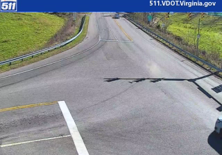
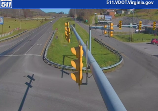

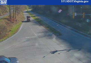

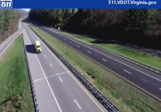
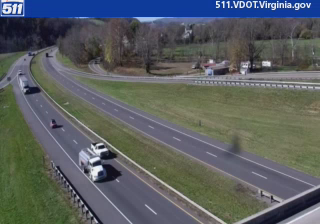
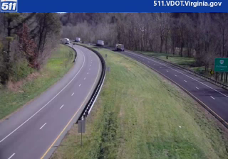
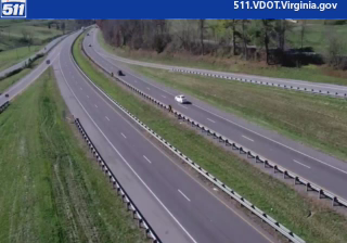

Among the communities of southwest Virginia, Claypool Hill stands out as a road crossroads on the U.S. 19/460 corridor, where Virginia Route 61 begins. It lies in Tazewell County’s coalfield country, among the wooded ridges of the Appalachian Mountains and near the Clinch River valley. The community serves as a commercial centre for the surrounding area, with businesses and services concentrated along the main highway rather than around a separate historic downtown. Coal mining has long shaped the economy and settlement pattern of this part of Virginia, while nearby Richlands forms part of the same local area. Explore other webcams across Tazewell County and southwest Virginia to set Claypool Hill in its wider Appalachian context.
1 webcam
Among the regions of the United States, Virginia stands out for its sweep from the Blue Ridge Mountains to the Chesapeake Bay. Its varied terrain includes the Shenandoah Valley, the Piedmont of the central counties, and a long Atlantic-facing coast. Richmond, on the James River, is Virginia’s capital and a major centre of American Civil War history; farther east, Jamestown was the site of England’s first permanent settlement in North America, founded in 1607. Shenandoah National Park and its Skyline Drive trace the crest of the Blue Ridge. Move on to other webcams in the region to compare landscapes and settings around Virginia.
1.5K webcams
The Atlantic, Pacific and Gulf coasts define much of the United States — their ports, fisheries and trade routes have long tied the country’s economy to the wider world. Between them, the Rocky Mountains, Great Plains and Mississippi River basin form sharply different regions, from high western ranges to broad agricultural heartlands. Cities carry much of the national story: New York’s Statue of Liberty, a gift from France dedicated in 1886, remains an enduring symbol, while Washington, DC concentrates major federal institutions. Indigenous nations have shaped these lands for millennia, and their living cultures remain essential to the country’s identity. Find related webcams in the surrounding areas to build a fuller picture of the United States.
32K webcams