Historical images are not available for this webcam
 Chilhowie: I-81 - MM 35.4 - SB
Chilhowie occupies a broad valley in Smyth County, within Virginia’s Appalachian Highlands. The town lies amid the folded ridges of the Appalachian Mountains, with Interstate 81 running nearby and U.S. Route 11 forming an older transport link through the area. Chilhowie’s Cherokee-derived name is commonly translated as “valley of many deer,” recalling the Indigenous language embedded in many southwestern Virginia place names. It is a practical stop in a largely rural part of the state, between the larger communities of Marion and Abingdon, where wooded slopes, pastureland and major road connections meet.
Generated by AI
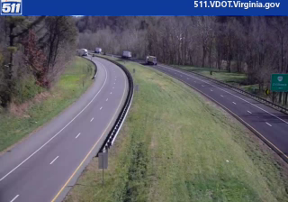
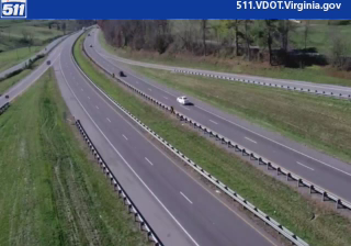
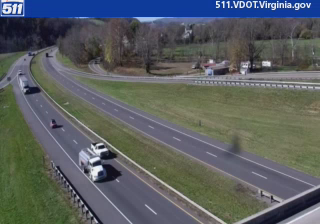

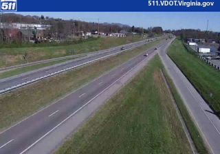
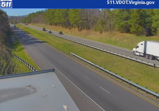


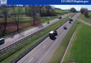

Built around a railway station, Chilhowie grew into a small town in Smyth County, southwest Virginia. It lies in the Valley and Ridge section of the Appalachians, north of the Mount Rogers National Recreation Area, where farmland and wooded slopes define the surrounding country. US Route 11 passes through town, continuing Chilhowie’s connection to a long-established north–south route across western Virginia. Rail and road have given its compact centre a practical, travel-oriented character, while the wider area leads toward the highlands around Mount Rogers. Discover nearby webcam locations for complementary perspectives on Smyth County and southwest Virginia.
3 webcams
Among the regions of the United States, Virginia stands out for its sweep from the Blue Ridge Mountains to the Chesapeake Bay. Its varied terrain includes the Shenandoah Valley, the Piedmont of the central counties, and a long Atlantic-facing coast. Richmond, on the James River, is Virginia’s capital and a major centre of American Civil War history; farther east, Jamestown was the site of England’s first permanent settlement in North America, founded in 1607. Shenandoah National Park and its Skyline Drive trace the crest of the Blue Ridge. Move on to other webcams in the region to compare landscapes and settings around Virginia.
1.5K webcams
The Atlantic, Pacific and Gulf coasts define much of the United States — their ports, fisheries and trade routes have long tied the country’s economy to the wider world. Between them, the Rocky Mountains, Great Plains and Mississippi River basin form sharply different regions, from high western ranges to broad agricultural heartlands. Cities carry much of the national story: New York’s Statue of Liberty, a gift from France dedicated in 1886, remains an enduring symbol, while Washington, DC concentrates major federal institutions. Indigenous nations have shaped these lands for millennia, and their living cultures remain essential to the country’s identity. Find related webcams in the surrounding areas to build a fuller picture of the United States.
32K webcams