 Mendig: Mendig Airfield
Mendig Airfield lies on the eastern Eifel plateau, where open farmland extends across terrain shaped by ancient volcanism. The airfield occupies part of a former military flying site and is now associated with general aviation in northern Rhineland-Palatinate. Mendig developed around basalt extraction, a trade rooted in the region’s volcanic geology; the town’s Lava Dome museum and underground Lavakeller passages explain that legacy. Laacher See, a water-filled volcanic caldera, is one of the defining features of this part of the Eifel. The setting places airfield infrastructure within a broad rural landscape, with the Rhine valley lying to the east.
Generated by AI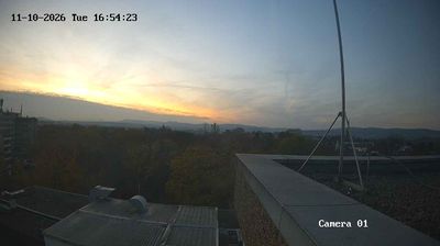
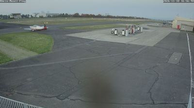
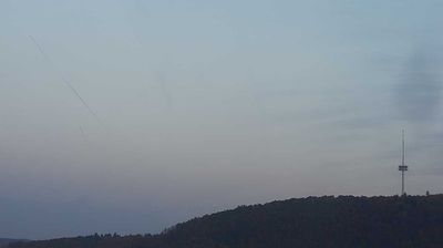
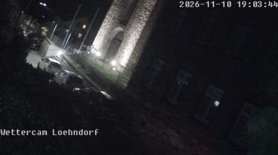
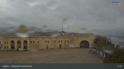
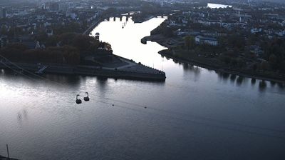
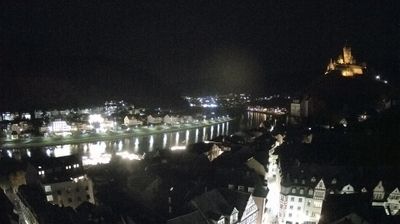

Built around its volcanic-lava quarries, Mendig grew into an Eifel town shaped by the geology of Rhineland-Palatinate. It stands on the eastern edge of the Eifel volcanic field, close to Laacher See, a volcanic lake associated with one of Central Europe’s major late-Ice-Age eruptions. Beneath the town, the Mendiger Lavakeller are underground galleries created through centuries of lava-rock extraction; their reliably cool air later made them suitable for storing beer. Mendig’s Lava-Dome, the German Volcano Museum, explains the forces that formed this part of the Eifel. Explore nearby webcam locations that provide complementary perspectives on Mendig and the East Eifel.
1 webcam
The Rhine and Moselle define much of Rhineland-Palatinate – their valleys have long concentrated vineyards, river transport and historic towns. Inland, the wooded Hunsrück plateau contrasts with the vine-covered slopes of the Moselle, Nahe and Mittelrhein wine areas. Trier preserves the Porta Nigra, a Roman city gate within the UNESCO-listed Roman Monuments of Trier. The state also includes part of the UNESCO-listed Upper Middle Rhine Valley, where castles, terraces and riverside settlements shape a celebrated cultural landscape. Wine festivals and the autumn harvest remain central to local life. Browse other webcams across Rhineland-Palatinate to place this setting in a wider geographic context.
109 webcams
Germany stretches from the North Sea and Baltic Sea coasts to the Alps on its southern border, encompassing northern plains, river valleys and forested uplands. The Rhine, Danube and Elbe have long connected its regions, while the Black Forest and Bavarian Alps give the south a more dramatic relief. Berlin’s Brandenburg Gate and Museum Island reflect the capital’s role in German history and culture. Cologne Cathedral, a UNESCO World Heritage Site, rises above the Rhine, and the Bauhaus movement, founded in Weimar in 1919, transformed modern design far beyond Germany. Regional cooking, Christmas markets and brewing traditions bring further character to daily life. Browse additional webcams from the surrounding area to extend your view of Germany.
2.3K webcams