 Sarpsborg: Sarpsbrua
The landscape around Sarpsbrua is shaped by the broad Glomma River and low, wooded banks, which have shaped both the built environment and local life. Sarpsbrua spans the Glomma in Sarpsborg, where roads, rail infrastructure and industrial premises follow the river corridor. The Glomma is Norway’s longest river, and its lower course has long supported settlement and industry in this part of Østfold. Sarpsborg was founded in 1016 by King Olav Haraldsson, giving the city a place among Norway’s oldest urban foundations. Close to the town centre, Sarpsfossen is a powerful waterfall in the Glomma and a focal point of the city’s industrial heritage. The bridge and riverfront convey a working landscape rather than a detached historic quarter.
Generated by AI

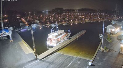
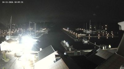
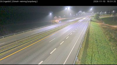



Sarpsborg occupies a riverbank setting beside the Glomma in Østfold, southeastern Norway. Norway’s longest river plunges through Sarpsfossen here, a force that has shaped the city’s industrial identity for generations. King Olaf II Haraldsson founded Sarpsborg in 1016, placing it among the country’s oldest cities; its millennium was marked in 2016. Today, the centre combines everyday urban life with riverside paths and the presence of the Borregaard industrial area, where the river remains part of a working landscape. Close to the Swedish border, Sarpsborg belongs to the more densely settled Oslofjord region rather than Norway’s mountain-and-fjord interior. Discover how Sarpsborg connects with Østfold and the Glomma valley by browsing webcams nearby.
4 webcams
Østfold is best known within Norway for Fredrikstad’s fortified Old Town, founded in 1567 by King Frederick II. This southeastern region follows the lower Glomma River towards its meeting with the Oslofjord, combining river towns, farmland and an island-dotted coast. Sarpsborg, founded in 1016, is among Norway’s oldest towns and remains closely linked to the river. Offshore, the Hvaler archipelago is home to Norway’s first marine national park, established in 2009. View additional webcams nearby to better understand how Østfold relates to the Glomma and Oslofjord coast.
32 webcams
Norway has served as a seafaring link between the North Atlantic and northern Europe since the Viking Age. Its long coastline is cut by fjords, while the Lofoten archipelago rises sharply from the Norwegian Sea and the mountains of Jotunheimen include Galdhøpiggen, Norway’s highest peak. Bergen’s Bryggen, the former Hanseatic wharf, recalls centuries of maritime trade. Farther north, Sámi culture remains an essential part of the country’s identity. Explore nearby webcam locations that provide complementary perspectives on Norway’s coast, fjords and mountain regions.
1.5K webcams