 Gautestad
 occupies gently rolling agricultural lowland in Rakkestad municipality, Østfold. This part of southeastern Norway lies east of the Glomma, the country’s longest river, in a belt of arable land interspersed with small woods and dispersed farms. Riksvei 22 runs through Gautestad, providing a road link within the Rakkestad district and onward across Østfold. The settlement is rural rather than urban, defined by working fields, drainage ditches and forest edges. In Rakkestad, the medieval stone Rakkestad Church reflects the area’s long-established parish history. Gautestad is a useful reference point for understanding the open farming country that contrasts with Norway’s better-known coast and mountain regions.
Generated by AI

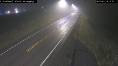
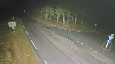
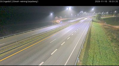

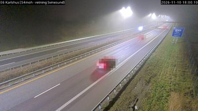

Among the settlements of Østfold, Gautestad stands out for its quiet position in the agricultural inland of southeastern Norway. It lies in Rakkestad municipality, where cultivated fields and wooded tracts shape the landscape rather than the fjord scenery associated with much of Norway’s coast. Farming has long been central to this part of Østfold, and the local roads connect scattered homesteads with the larger service centre of Rakkestad. Explore additional webcams nearby to better understand how Gautestad relates to the rural landscapes of Østfold.
1 webcam
Østfold is best known within Norway for Fredrikstad’s fortified Old Town, founded in 1567 by King Frederick II. This southeastern region follows the lower Glomma River towards its meeting with the Oslofjord, combining river towns, farmland and an island-dotted coast. Sarpsborg, founded in 1016, is among Norway’s oldest towns and remains closely linked to the river. Offshore, the Hvaler archipelago is home to Norway’s first marine national park, established in 2009. View additional webcams nearby to better understand how Østfold relates to the Glomma and Oslofjord coast.
32 webcams
Norway has served as a seafaring link between the North Atlantic and northern Europe since the Viking Age. Its long coastline is cut by fjords, while the Lofoten archipelago rises sharply from the Norwegian Sea and the mountains of Jotunheimen include Galdhøpiggen, Norway’s highest peak. Bergen’s Bryggen, the former Hanseatic wharf, recalls centuries of maritime trade. Farther north, Sámi culture remains an essential part of the country’s identity. Explore nearby webcam locations that provide complementary perspectives on Norway’s coast, fjords and mountain regions.
1.5K webcams