 Karpacz
 occupies a mountain valley on the northern slopes of the Karkonosze in Lower Silesia. The resort town extends along the Łomnica, beneath forested ridges that lead toward Śnieżka, the highest summit of the range. Its best-known cultural landmark is the wooden Wang Church in Karpacz Górny, a medieval stave church brought from Norway and reassembled here in the 19th century. Karpacz is a base for walking routes in Karkonosze National Park and for winter sports. Open meadows and scattered development in the lower valley contrast with denser woodland on the surrounding slopes.
Generated by AI
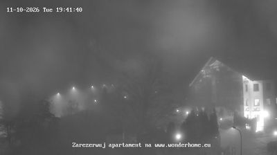
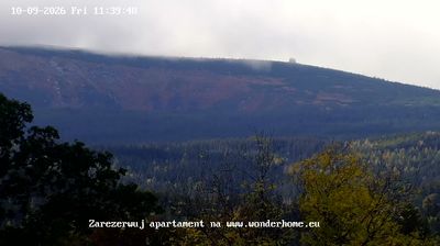

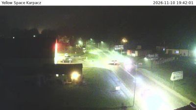


Karpacz sits beside the Łomnica River in Poland’s Lower Silesian Voivodeship, where the northern slopes of the Karkonosze Mountains rise towards Śnieżka, the range’s highest peak. This mountain resort developed as a base for exploring the Sudetes and retains a strongly alpine character, with forested slopes reaching close to town. Its most distinctive monument is the wooden Wang Church, a medieval Norwegian stave church moved here in the 19th century. Trails from Karpacz lead into Karkonosze National Park and towards mountain huts and high ridges. Browse other webcams in Lower Silesia to compare the mountain settings around Karpacz.
11 webcams
Among the regions of Poland, Lower Silesian Voivodeship stands out for the meeting of the Sudetes, the Oder valley and historic Wrocław. Its southern edge reaches the Karkonosze range, where Śnieżka rises as the highest peak of the Sudetes, while broad lowlands and river corridors shape the north. Wrocław is the regional centre, known for its Market Square, the cathedral district of Ostrów Tumski and the UNESCO-listed Centennial Hall. Further west, Książ Castle near Wałbrzych recalls the area’s long Silesian past. Browse additional webcams around the region to extend your view of Lower Silesia.
74 webcams
Poland stretches from the Baltic Sea coast in the north to the Carpathian Mountains along its southern frontier, encompassing broad lowlands, lake districts and upland ranges. The Vistula, the country’s longest river, links Kraków and Warsaw before reaching the Baltic near Gdańsk, while the Masurian Lake District is defined by a dense network of lakes. Kraków’s historic centre, including Wawel Castle, recalls Poland’s former royal capital; Warsaw’s rebuilt Old Town speaks to the city’s recovery after the Second World War. The Białowieża Forest preserves one of Europe’s last primeval lowland forests and is home to European bison. Follow how Poland’s regions relate to one another by browsing webcams across the country.
717 webcams