 Rangsit: Rangsit - Nakhon Nayok Road
Rangsit combines dense commercial development with a low-lying canal plain in a way that reflects its position on Bangkok’s northern edge. Rangsit–Nakhon Nayok Road, also known as Route 305, runs east from Rangsit through Pathum Thani towards Nakhon Nayok and is a major artery of this fast-growing urban belt. The Rangsit Canal forms part of the Chao Phraya basin’s waterway network; its late-19th-century development for irrigation recalls the area’s agricultural foundations. Today, housing, services and retail line the corridor, including Future Park Rangsit, a major shopping complex and a focal point for the district’s commerce.
Generated by AI
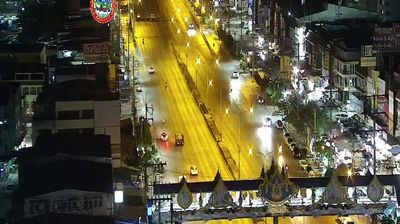
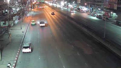


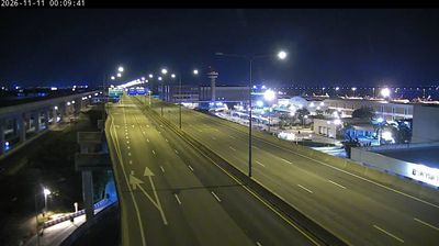

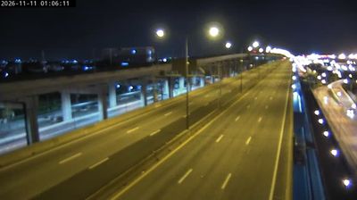
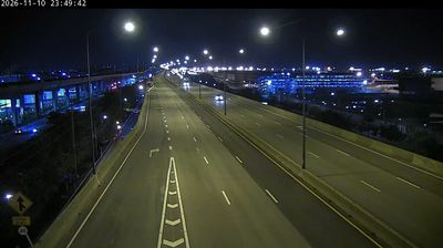
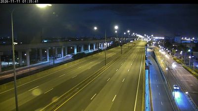

Rangsit combines the pace of Bangkok’s northern fringe with the ordered waterways of the Chao Phraya plain in a way that reflects its position in Pathum Thani Province. Khlong Rangsit forms part of a canal network developed under King Chulalongkorn, which helped bring irrigation and rice cultivation to this area of central Thailand. Today, the city is a busy commercial and transport centre: Future Park Rangsit anchors its retail district, while the SRT Dark Red Line links Rangsit with Bangkok. Move on to other webcams in the region to compare urban and canal-side settings around Pathum Thani Province.
4 webcams
The terrain of Pathum Thani Province ranges from the low-lying Chao Phraya floodplain in the west to canal-crossed farmland and expanding urban districts in the east, making water management central to daily life. Just north of Bangkok, the province forms part of Thailand’s densely settled central plain, where the Chao Phraya River and the Rangsit canal network have long supported rice cultivation and transport. Its name, meaning “Lotus City,” recalls the lotus ponds associated with Mon communities in the historic district of Sam Khok. Thammasat University’s Rangsit campus also gives the province an important academic presence. Browse other webcams across central Thailand to place Pathum Thani Province in a wider geographic context.
4 webcams
Thailand stretches from the mountains along its northern borders to the Malay Peninsula, encompassing fertile central plains, river deltas and long tropical coasts. The Chao Phraya River runs through Bangkok, where the Grand Palace and Wat Phra Kaew remain central symbols of the Thai monarchy and Buddhist tradition. North of the capital, Ayutthaya’s temple ruins recall the former Siamese kingdom; farther south, the Andaman Sea and Gulf of Thailand frame islands, fishing ports and beach resorts. Thai food, from street stalls to regional kitchens, is inseparable from daily life, while Songkran marks the traditional New Year each April. Browse additional webcams from the surrounding area to extend your view of Thailand.
151 webcams