 Dannenfels
 lies along the eastern slopes of the Donnersberg, where wooded ridges of the North Palatine Uplands rise above the vineyards and settlements of the Palatinate. The Donnersberg is the highest summit in the Palatinate, reaching 687 metres, and its tall transmission tower is a familiar marker on the ridge. The mountain also preserves traces of a major Celtic oppidum: the surviving earthworks and stone ramparts known as the Keltenwall recall an Iron Age settlement on the summit plateau. Dannenfels is a compact rural community shaped by this wooded upland setting and the nearby wine-growing countryside of Rhineland-Palatinate.
Generated by AI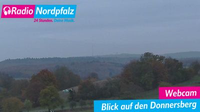
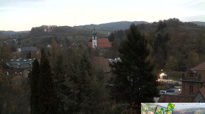
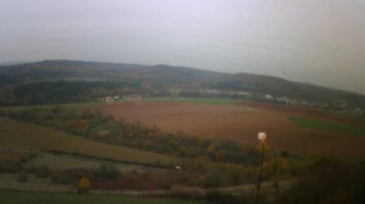
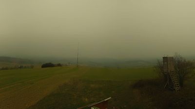
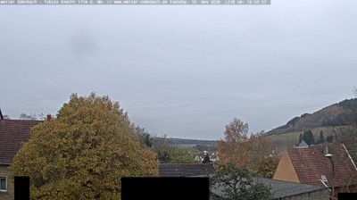
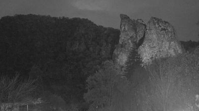
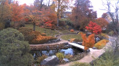
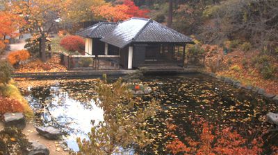


The landscape around Dannenfels is shaped by forested slopes and vineyards beneath the Donnersberg, which have influenced both the settlement pattern and local winegrowing. At 687 metres, the Donnersberg is the highest peak in the Palatinate, giving this Rhineland-Palatinate community a distinctly upland character. Dannenfels belongs to the Pfalz wine region, while paths through the surrounding woodland lead towards the mountain’s summit area. Above the village, the ruins of Tannenfels Castle recall the medieval network of fortified sites that once watched over this part of the Palatinate. View additional webcams nearby to better understand how Dannenfels and the Donnersberg relate to the surrounding Palatinate.
1 webcam
The Rhine and Moselle define much of Rhineland-Palatinate – their valleys have long concentrated vineyards, river transport and historic towns. Inland, the wooded Hunsrück plateau contrasts with the vine-covered slopes of the Moselle, Nahe and Mittelrhein wine areas. Trier preserves the Porta Nigra, a Roman city gate within the UNESCO-listed Roman Monuments of Trier. The state also includes part of the UNESCO-listed Upper Middle Rhine Valley, where castles, terraces and riverside settlements shape a celebrated cultural landscape. Wine festivals and the autumn harvest remain central to local life. Browse other webcams across Rhineland-Palatinate to place this setting in a wider geographic context.
123 webcams
Germany stretches from the North Sea and Baltic Sea coasts to the Alps on its southern border, encompassing northern plains, river valleys and forested uplands. The Rhine, Danube and Elbe have long connected its regions, while the Black Forest and Bavarian Alps give the south a more dramatic relief. Berlin’s Brandenburg Gate and Museum Island reflect the capital’s role in German history and culture. Cologne Cathedral, a UNESCO World Heritage Site, rises above the Rhine, and the Bauhaus movement, founded in Weimar in 1919, transformed modern design far beyond Germany. Regional cooking, Christmas markets and brewing traditions bring further character to daily life. Browse additional webcams from the surrounding area to extend your view of Germany.
2.8K webcams