 Spiekeroog: Spiekeroog harbour
Spiekeroog combines a compact island community with the expansive tidal flats of the Wadden Sea, reflecting its position among Germany’s East Frisian Islands. Its harbour on the sheltered southern side is the practical link to the mainland, receiving regular ferries from Neuharlingersiel as well as local sailing and service craft. Beyond the quays lies a coast governed by tides: broad mudflats, channels and salt-marsh edges belong to the Lower Saxon Wadden Sea National Park, part of the UNESCO World Heritage Wadden Sea. Spiekeroog is largely free of private cars, so its settlement, dunes and long North Sea beach are experienced at an unhurried scale. The harbour brings together the working rhythm of island transport and the sailing culture of this small North Sea community.
Generated by AI



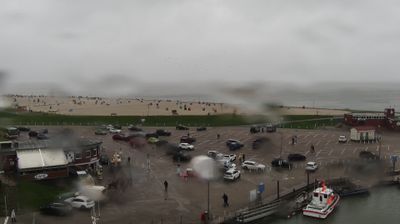
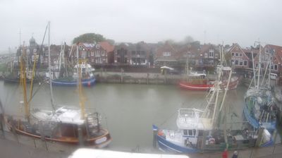
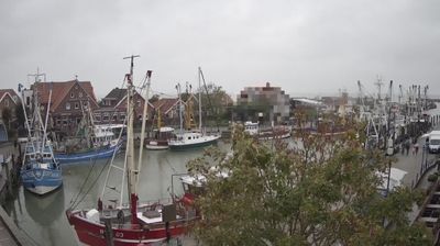
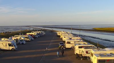

Spiekeroog straddles the divide between the open North Sea and the Wadden Sea in Lower Saxony, and its tidal setting has shaped a car-free island community reached by ferry. It is one of the East Frisian Islands, with a sandy beach and dune belt on the seaward side and salt marshes and tidal flats toward the mainland. The surrounding Wadden Sea forms part of a UNESCO World Heritage site, where changing tides define the rhythm of island life. In the village, the Alte Inselkirche, built in 1696, recalls Spiekeroog’s long connection with the sea. Bicycles and horse-drawn wagons, rather than private cars, set the pace on its lanes. Find related webcams across the East Frisian Islands to build a fuller picture of Spiekeroog and the Lower Saxon coast.
2 webcams
Lower Saxony extends from the North Sea coast to the Harz Mountains, encompassing Wadden Sea mudflats, broad lowlands and wooded uplands. At its northern edge, the Lower Saxon Wadden Sea forms part of the UNESCO-listed Wadden Sea, shaped twice daily by the tides. The Weser crosses the state on its way to the North Sea, while the Elbe marks much of its northeastern border. Inland, the Lüneburg Heath is associated with heather moorland and long-standing sheep farming. Hanover, the state capital, is known for the Herrenhausen Gardens, whose Great Garden is a major baroque ensemble. Explore further webcams across Lower Saxony to place the region in its wider geographic context.
199 webcams
Germany stretches from the North Sea and Baltic Sea coasts to the Alps on its southern border, encompassing northern plains, river valleys and forested uplands. The Rhine, Danube and Elbe have long connected its regions, while the Black Forest and Bavarian Alps give the south a more dramatic relief. Berlin’s Brandenburg Gate and Museum Island reflect the capital’s role in German history and culture. Cologne Cathedral, a UNESCO World Heritage Site, rises above the Rhine, and the Bauhaus movement, founded in Weimar in 1919, transformed modern design far beyond Germany. Regional cooking, Christmas markets and brewing traditions bring further character to daily life. Browse additional webcams from the surrounding area to extend your view of Germany.
2.8K webcams