 Oldenburg: Spiekeroog
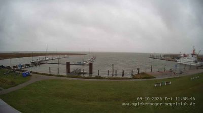
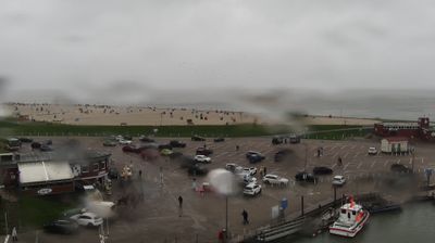
Built around a settlement on an East Frisian barrier island, Spiekeroog grew into a car-free North Sea community. The island lies in Lower Saxony’s Wadden Sea, a tidal coastal zone of mudflats, salt marshes and channels protected as part of the UNESCO World Heritage Site. Dunes and broad sandy beaches form its seaward edge, while the compact village retains narrow lanes and traditional island houses. Spiekeroog is reached by ferry from Neuharlingersiel, and motor traffic is excluded on the island. Its Inselkirche, built in 1696, is among the village’s enduring landmarks. The island is best explored on foot or by bicycle, with the rhythm of the tides central to daily life.
Generated by AI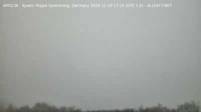


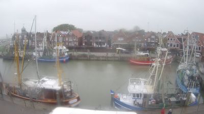

Tucked along the Hunte River in northwestern Lower Saxony, Oldenburg is a city whose character is shaped by its flat river plain and its historic role as a ducal residence. Oldenburg Castle, once home to the counts and later grand dukes of Oldenburg, now houses part of the State Museum for Art and Cultural History. The compact centre brings together the neoclassical Schlossplatz, the Lappan bell tower and pedestrian streets around the market. Beyond it, waterways, parks and cycle routes connect the city with the broad North German lowlands. Browse additional webcams from the Oldenburg area to extend your view of northwestern Lower Saxony.
12 webcams
Lower Saxony extends from the North Sea coast to the Harz Mountains, encompassing Wadden Sea mudflats, broad lowlands and wooded uplands. At its northern edge, the Lower Saxon Wadden Sea forms part of the UNESCO-listed Wadden Sea, shaped twice daily by the tides. The Weser crosses the state on its way to the North Sea, while the Elbe marks much of its northeastern border. Inland, the Lüneburg Heath is associated with heather moorland and long-standing sheep farming. Hanover, the state capital, is known for the Herrenhausen Gardens, whose Great Garden is a major baroque ensemble. Explore further webcams across Lower Saxony to place the region in its wider geographic context.
198 webcams
Germany stretches from the North Sea and Baltic Sea coasts to the Alps on its southern border, encompassing northern plains, river valleys and forested uplands. The Rhine, Danube and Elbe have long connected its regions, while the Black Forest and Bavarian Alps give the south a more dramatic relief. Berlin’s Brandenburg Gate and Museum Island reflect the capital’s role in German history and culture. Cologne Cathedral, a UNESCO World Heritage Site, rises above the Rhine, and the Bauhaus movement, founded in Weimar in 1919, transformed modern design far beyond Germany. Regional cooking, Christmas markets and brewing traditions bring further character to daily life. Browse additional webcams from the surrounding area to extend your view of Germany.
2.7K webcams