 Daigo: Shimonomiya Station - Shimonomiya - Kuji District - National Route 118
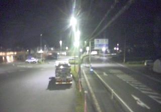
Shimonomiya sits on the Kuji River in Daigo, Ibaraki Prefecture, Japan, where National Route 118 crosses a settled valley edged by wooded hills. This northern part of Ibaraki follows the Kuji’s course toward the Pacific, with riverbanks, bridges and small residential clusters marking the valley floor. Shimonomiya Station serves the JR Suigun Line, a local railway linking Mito with communities through the Kuji Valley toward Fukushima Prefecture. Route 118 is another principal north–south link through the area. Daigo is widely associated with Fukuroda Falls, a four-tier waterfall on the Taki River, a Kuji tributary. The setting reflects an everyday rural side of Japan shaped by transport routes and the river corridor.
Generated by AI





Daigo lies along the Kuji River in northern Ibaraki Prefecture, where wooded valleys rise toward the Yamizo Mountains. The town is best known for Fukuroda Falls, a four-tier cascade on the Taki River counted among Japan’s Three Great Waterfalls; its flow and appearance shift markedly through the seasons. Daigo also has a strong association with konnyaku, the firm food made from konjac, which is produced across this rural part of Ibaraki. The JR Suigun Line follows the Kuji River corridor, linking the town with the wider region. Discover other points of interest through webcams located across Daigo and Ibaraki Prefecture.
1 webcam
Ibaraki Prefecture has served as an administrative and agricultural heartland within eastern Japan since the Edo period. Spreading across the northeastern Kantō Plain, it meets the Pacific Ocean to the east and is shaped inland by Lake Kasumigaura, Japan’s second-largest lake. Mount Tsukuba, with its two distinctive summits, is a defining landmark west of the lake. The prefectural capital, Mito, was the seat of a Tokugawa branch domain; its Kairakuen garden was created in 1841 by Tokugawa Nariaki and is celebrated for its plum groves. Agriculture remains central, from rice fields to melon cultivation, while the coast adds fishing ports and broad beaches. Explore additional webcams nearby to understand how Ibaraki Prefecture connects with the Kantō Plain and Pacific shore.
17 webcams
Among the countries of East Asia, Japan stands out for its volcanic archipelago, stretching from the cool north of Hokkaido to subtropical Okinawa. Mount Fuji, the nation’s highest mountain, rises above central Honshu, while the Pacific Ocean and the Seto Inland Sea have long shaped settlement, fishing and travel. Tokyo pairs dense urban life with major museums and neighbourhood traditions; Kyoto preserves temples, gardens and the legacy of Japan’s imperial court. Seasonal customs give journeys a changing rhythm, from spring cherry blossom viewing to autumn leaves. Regional cooking is equally varied, with sushi, ramen and local specialties reflecting coastlines, climate and agriculture. Explore nearby webcam locations that provide complementary perspectives on Japan’s islands, cities and mountain regions.
1.3K webcams