 Jungbu-dong
Built around road links alongside Seocheon Stream, Jungbu-dong grew into a central urban district of Gyeongju. Broad arterial streets and large junctions connect the transport-terminal area with nearby housing and the stream corridor, giving this part of the city a distinctly functional rhythm. Gyeongju was the capital of the Silla kingdom for nearly a thousand years, and the Gyeongju Historic Areas are inscribed on UNESCO’s World Heritage List. Royal tombs, temple sites and archaeological parks across the city place this everyday district within one of Korea’s most important historic urban landscapes. Jungbu-dong introduces the modern movement and infrastructure of Gyeongju beyond its celebrated monuments.
Generated by AI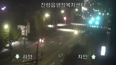
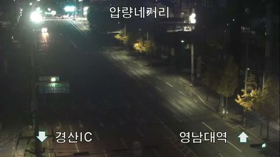


Jungbu-dong combines the activity of a central neighbourhood with the measured atmosphere of a historic city in a way that reflects its cultural position in Gyeongju. The district lies within the former capital of the Silla kingdom, whose royal tombs, temples and archaeological sites shape the wider urban fabric. Nearby, Daereungwon preserves a group of Silla burial mounds, while Cheomseongdae is recognised as one of East Asia’s oldest surviving astronomical observatories. The Hyeongsan River runs through Gyeongju, linking the city’s built-up centre with its surrounding basin and hills. View additional webcams nearby to better understand how Jungbu-dong and central Gyeongju relate to the Hyeongsan River valley.
1 webcam
Formed from the northern part of historic Gyeongsang Province, Gyeongsangbuk-do developed into South Korea’s largest province by area. Its terrain extends from the Taebaek Mountains to the East Sea, while the Nakdong River crosses the western and central interior. Gyeongju, capital of the Silla kingdom from 57 BCE to 935 CE, preserves royal tombs, temples and major archaeological sites. In Andong, Hahoe Folk Village reflects enduring Confucian traditions and is inscribed on UNESCO’s World Heritage List. The province also includes the Ulleungdo islands in the East Sea. Find related webcams in the surrounding area to build a fuller picture of Gyeongsangbuk-do.
5 webcams
South Korea stretches from the mountainous border with North Korea to Jeju Island, encompassing forested ranges, fertile river basins and a deeply indented southern coast. The Taebaek Mountains run along much of the east, while the Han River crosses Seoul before reaching the Yellow Sea. Busan faces the Korea Strait, and tidal flats and islands shape the country’s western shore. Seoul combines dense contemporary districts with royal Joseon sites, including Gyeongbokgung Palace, first built in 1395. Kimchi and bibimbap are central to everyday cuisine, while the Korean alphabet, Hangeul, was created in the 15th century. Find related webcams in the surrounding area to build a fuller picture of South Korea’s coasts, mountains and cities.
164 webcams