 Jillyang-eup
 lies in the Geumho River valley, where low hills and built-up plains shape the inland landscape of southeastern Korea. The town is part of Gyeongsan in North Gyeongsang Province, and broad urban roads run through its centre towards Hayang and Jain. Intersections, apartment buildings, small businesses and public services give this area a practical, day-to-day character; it is a local centre rather than a monumental city core. The wider Gyeongsan area is marked by the Imdang-dong and Joyeong-dong ancient tomb complexes, archaeological sites that preserve evidence of early communities on the Korean Peninsula. Jillyang-eup represents the contemporary urban side of a district where local administration, commerce and road travel converge in the Geumho valley.
Generated by AI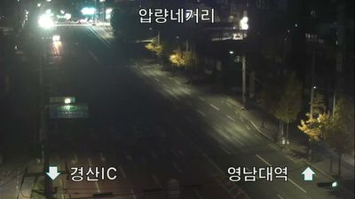
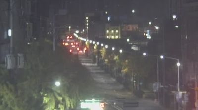

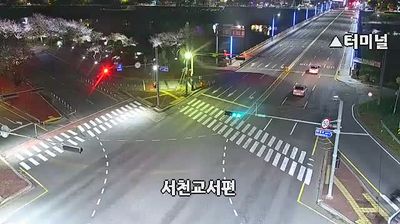

Jillyang-eup occupies a lowland position east of Daegu in Gyeongsangbuk-do, near the Geumho River and the built-up area of Gyeongsan. Though administratively part of Gyeongsan, it has a more open, semi-rural character than central Daegu, with farmland and transport links connecting the metropolitan area with the interior of North Gyeongsang Province. The wider Gyeongsan area is closely associated with the Silla period: the Imdang-dong and Joyeong-dong tomb groups preserve ancient burial mounds that reflect the region’s early importance. Jillyang-eup illustrates the transition between Daegu’s eastern outskirts and the provincial plain. Continue with other webcams from Gyeongsangbuk-do to see how this part of southeastern South Korea connects regionally.
1 webcam
Formed from the northern part of historic Gyeongsang Province, Gyeongsangbuk-do developed into South Korea’s largest province by area. Its terrain extends from the Taebaek Mountains to the East Sea, while the Nakdong River crosses the western and central interior. Gyeongju, capital of the Silla kingdom from 57 BCE to 935 CE, preserves royal tombs, temples and major archaeological sites. In Andong, Hahoe Folk Village reflects enduring Confucian traditions and is inscribed on UNESCO’s World Heritage List. The province also includes the Ulleungdo islands in the East Sea. Find related webcams in the surrounding area to build a fuller picture of Gyeongsangbuk-do.
5 webcams
South Korea stretches from the mountainous border with North Korea to Jeju Island, encompassing forested ranges, fertile river basins and a deeply indented southern coast. The Taebaek Mountains run along much of the east, while the Han River crosses Seoul before reaching the Yellow Sea. Busan faces the Korea Strait, and tidal flats and islands shape the country’s western shore. Seoul combines dense contemporary districts with royal Joseon sites, including Gyeongbokgung Palace, first built in 1395. Kimchi and bibimbap are central to everyday cuisine, while the Korean alphabet, Hangeul, was created in the 15th century. Find related webcams in the surrounding area to build a fuller picture of South Korea’s coasts, mountains and cities.
163 webcams