 Rumia: Trójmiejski Park Krajobrazowy
Rumia lies along the Baltic coastal plain, where the forested moraine hills of Trójmiejski Park Krajobrazowy meet the built-up edge of the Tricity area. This protected park extends through wooded uplands behind Gdynia, Sopot and Gdańsk, creating a long green belt above the Gulf of Gdańsk. Rumia belongs to the historic Kashubian region, whose distinct language and traditions remain an important part of northern Polish identity. Streets and apartment districts spread below the park’s slopes, illustrating the close relationship between urban development and Pomerania’s forests. Trails and cycling routes connect the coastal conurbation with woodland and moraine terrain.
Generated by AI


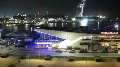

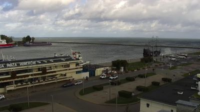

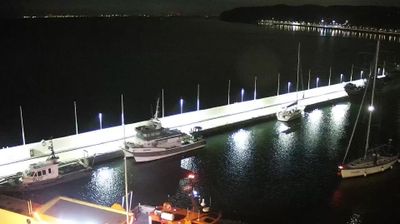
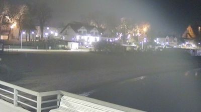

Rumia straddles the Zagórska Struga on the northern edge of the Kashubian Lake District in Pomeranian Voivodeship, where wooded uplands meet the lowlands of Puck Bay and link the town to both Kashubia and the Baltic coast. Granted town rights in 1954, Rumia has developed as an important residential and transport centre within the Gdańsk–Gdynia–Sopot metropolitan area. Rail connections tie it closely to Gdynia and Gdańsk, while Puck Bay and the Hel Peninsula underline its proximity to the sea. Kashubian traditions remain an important part of the local regional identity. Browse other webcams across Pomeranian Voivodeship to place this setting in a wider geographic context.
1 webcam
Pomeranian Voivodeship has served as an administrative region within Poland since 1999. Stretching from the Baltic coast to the wooded Kashubian Lake District, it brings together Poland’s maritime north and an inland country of lakes and forests. The Vistula reaches the sea near Gdańsk, while the coast includes the shifting dunes of Słowiński National Park. Gdańsk, a historic Baltic port and member of the Hanseatic League, anchors the Tri-City urban area with Sopot and Gdynia. Kashubian language and traditions remain an important part of the region’s identity, particularly west of Gdańsk. See how Pomeranian Voivodeship fits within northern Poland by browsing webcams nearby.
64 webcams
Poland stretches from the Baltic Sea coast in the north to the Carpathian Mountains along its southern frontier, encompassing broad lowlands, lake districts and upland ranges. The Vistula, the country’s longest river, links Kraków and Warsaw before reaching the Baltic near Gdańsk, while the Masurian Lake District is defined by a dense network of lakes. Kraków’s historic centre, including Wawel Castle, recalls Poland’s former royal capital; Warsaw’s rebuilt Old Town speaks to the city’s recovery after the Second World War. The Białowieża Forest preserves one of Europe’s last primeval lowland forests and is home to European bison. Follow how Poland’s regions relate to one another by browsing webcams across the country.
718 webcams