 Gdynia: Plaża w Gdyni Orłowo - Orłowo Pier - Gulf of Gdansk
Orłowo occupies a sandy stretch of the Gulf of Gdańsk on Gdynia’s southern coast in Poland’s Pomeranian Voivodeship. Plaża w Gdyni Orłowo meets the Baltic beside the timber Orłowo Pier, a local promenade first built in the 1920s. The present pier extends 180 metres into the gulf, while the wooded bluff of Orłowo Cliff rises nearby at the edge of the Kępa Redłowska nature reserve. Orłowo developed as a seaside resort before becoming part of Gdynia, and it retains a quieter residential character beside the port city. The shore opens across the broad gulf, a Baltic inlet shared by Poland and Russia’s Kaliningrad Oblast.
Generated by AI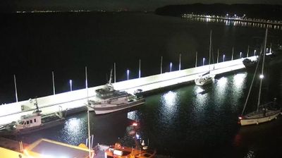
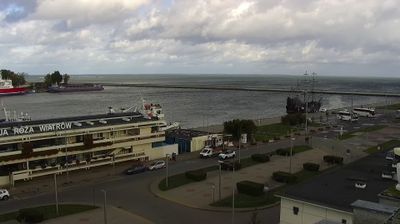
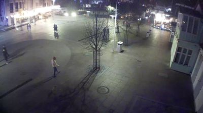


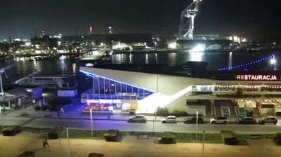


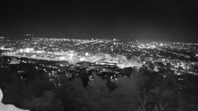

Gdańsk Bay defines the setting of Gdynia — its Baltic waters sustain a major port and shape a city whose daily rhythm remains tied to shipping, ferries and the waterfront. Developed rapidly after Poland regained independence, Gdynia received city rights in 1926 and became a key Polish seaport during the interwar period. Its centre is noted for early modernist architecture, while the museum ships ORP Błyskawica and Dar Pomorza recall the city’s maritime identity. South of the centre, the wooded Kępa Redłowska reserve and Orłowo Cliff bring the coast close to urban life. Continue with other webcams from the area to see how this part of the Pomeranian Voivodeship connects regionally.
6 webcams
Pomeranian Voivodeship has served as an administrative region within Poland since 1999. Stretching from the Baltic coast to the wooded Kashubian Lake District, it brings together Poland’s maritime north and an inland country of lakes and forests. The Vistula reaches the sea near Gdańsk, while the coast includes the shifting dunes of Słowiński National Park. Gdańsk, a historic Baltic port and member of the Hanseatic League, anchors the Tri-City urban area with Sopot and Gdynia. Kashubian language and traditions remain an important part of the region’s identity, particularly west of Gdańsk. See how Pomeranian Voivodeship fits within northern Poland by browsing webcams nearby.
64 webcams
Poland stretches from the Baltic Sea coast in the north to the Carpathian Mountains along its southern frontier, encompassing broad lowlands, lake districts and upland ranges. The Vistula, the country’s longest river, links Kraków and Warsaw before reaching the Baltic near Gdańsk, while the Masurian Lake District is defined by a dense network of lakes. Kraków’s historic centre, including Wawel Castle, recalls Poland’s former royal capital; Warsaw’s rebuilt Old Town speaks to the city’s recovery after the Second World War. The Białowieża Forest preserves one of Europe’s last primeval lowland forests and is home to European bison. Follow how Poland’s regions relate to one another by browsing webcams across the country.
709 webcams