 North Aurora
 lies in a low, wooded corridor of the Fox River, a setting that has shaped both its built environment and daily life. This Kane County village forms part of the Fox Valley west of Chicago, where the river has long guided settlement, transport and recreation. Illinois Route 31 crosses the Fox near the community centre, while a low dam marks one of the river’s engineered stretches. North Aurora was incorporated in 1905. The Fox River Trail follows the waterway through the region, linking parks and neighbourhoods to a wider route used by walkers and cyclists. Residential streets and mature trees give the riverfront an established suburban character, but the Fox remains the area’s defining geographic thread.
Generated by AI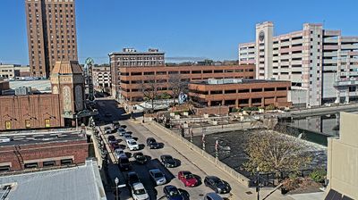
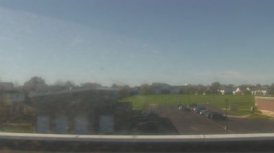
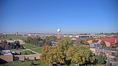

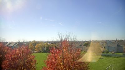
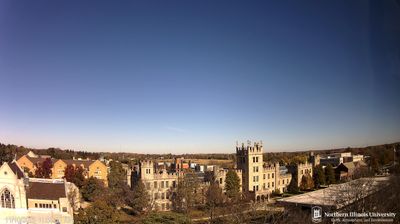
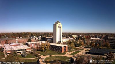
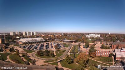

North Aurora straddles the Fox River in northeastern Illinois, a position that has tied this western Chicago suburb to the river corridor rather than the metropolitan core. The village lies in Kane County between Aurora and Batavia, where residential streets and parks meet the landscape of the Fox Valley. The Fox River Trail follows the waterway through the area, providing a continuous route for cyclists and walkers along one of northern Illinois’s best-known rivers. Incorporated in 1905, North Aurora grew from a riverside settlement and maintains a local identity within the wider Chicago region. Explore nearby webcam locations that provide complementary perspectives on North Aurora and the Fox River valley.
1 webcam
Illinois has served as a frontier within the United States since the early nineteenth century. Its broad central plains, including the area around Springfield, contrast with the urban scale of Chicago on Lake Michigan. The Mississippi River forms much of the western state boundary, while the Illinois River crosses the interior toward the Mississippi. Springfield is closely associated with Abraham Lincoln, who lived and worked there before becoming president; his home and presidential library are major civic landmarks. Farming remains central to the state’s identity, alongside manufacturing, transport, and the cultural influence of Chicago. Browse additional webcams from the surrounding area to extend your view of Illinois.
53 webcams
The Atlantic, Pacific and Gulf coasts define much of the United States — their ports, fisheries and trade routes have long tied the country’s economy to the wider world. Between them, the Rocky Mountains, Great Plains and Mississippi River basin form sharply different regions, from high western ranges to broad agricultural heartlands. Cities carry much of the national story: New York’s Statue of Liberty, a gift from France dedicated in 1886, remains an enduring symbol, while Washington, DC concentrates major federal institutions. Indigenous nations have shaped these lands for millennia, and their living cultures remain essential to the country’s identity. Find related webcams in the surrounding areas to build a fuller picture of the United States.
32K webcams