 Lockport
Few places in northeastern Illinois have a history as closely tied to canal engineering as Lockport. The city developed beside the Illinois and Michigan Canal, completed in 1848 to create a water route between the Chicago River and the Illinois River. Its stone warehouses and commercial buildings recall the canal era, while the Gaylord Building, erected in 1838, is among the surviving structures from that formative period. Lockport also stands near the Des Plaines River and the Chicago Sanitary and Ship Canal, waterways that helped bind the Chicago area to the Illinois Waterway. Today, the canal corridor is preserved within the Illinois and Michigan Canal National Heritage Area, giving the city a distinct industrial-river character.
Generated by AI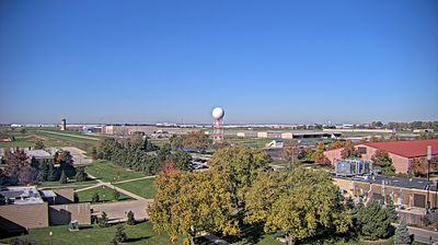

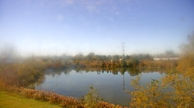
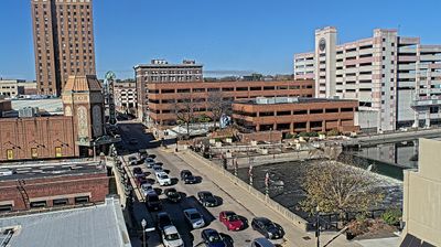


Among the cities of Illinois, Lockport stands out for its historic position on the Illinois and Michigan Canal. Built beside the Des Plaines River southwest of Chicago, it grew with the canal route that linked the Chicago River system to the Illinois River in the 19th century. The 1838 Gaylord Building, constructed from local limestone, remains a prominent reminder of that canal-era development. Lockport's old downtown and canal-side heritage sites give the city a distinctly industrial and transport-minded identity within the Chicago metropolitan area. Find related webcams around the Des Plaines River valley to build a fuller picture of Lockport and northeastern Illinois.
1 webcam
Illinois has served as a frontier within the United States since the early nineteenth century. Its broad central plains, including the area around Springfield, contrast with the urban scale of Chicago on Lake Michigan. The Mississippi River forms much of the western state boundary, while the Illinois River crosses the interior toward the Mississippi. Springfield is closely associated with Abraham Lincoln, who lived and worked there before becoming president; his home and presidential library are major civic landmarks. Farming remains central to the state’s identity, alongside manufacturing, transport, and the cultural influence of Chicago. Browse additional webcams from the surrounding area to extend your view of Illinois.
53 webcams
The Atlantic, Pacific and Gulf coasts define much of the United States — their ports, fisheries and trade routes have long tied the country’s economy to the wider world. Between them, the Rocky Mountains, Great Plains and Mississippi River basin form sharply different regions, from high western ranges to broad agricultural heartlands. Cities carry much of the national story: New York’s Statue of Liberty, a gift from France dedicated in 1886, remains an enduring symbol, while Washington, DC concentrates major federal institutions. Indigenous nations have shaped these lands for millennia, and their living cultures remain essential to the country’s identity. Find related webcams in the surrounding areas to build a fuller picture of the United States.
32K webcams