 Mito
Tucked along the Naka River on the Kanto Plain, Mito is a city whose character is shaped by the waterway and its role as Ibaraki Prefecture’s administrative centre. The city grew as the castle town of the Mito branch of the Tokugawa family, one of the three principal houses established to support the shogunate. Kairakuen, created in 1841 by Tokugawa Nariaki, remains its best-known cultural landscape; unlike many daimyo gardens, it was opened for townspeople as well as the lord. Mito’s central districts combine government, education and commerce, while the Naka River ties the urban area to the wider plains of eastern Honshu. Local food culture is associated with Mito natto, fermented soybeans commonly eaten with rice. National Route 50 includes Ibaraki Bridge in the Otsuka area.
Generated by AI


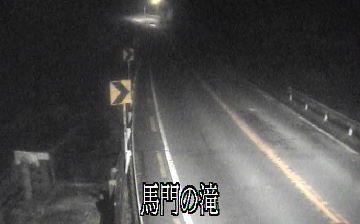
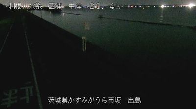

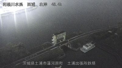

Tucked along the Naka River on the Kantō Plain, Mito is a place whose character is shaped by waterways and the open lowlands of Ibaraki. The city developed as the seat of the Mito branch of the Tokugawa family, and traces of that role remain around the former Mito Castle area. Kairakuen, laid out in 1841 by Tokugawa Nariaki, is counted among Japan’s Three Great Gardens; its plum groves make late winter and early spring an important season here. Nearby Senba Lake provides a waterside walking circuit, while Mito is also closely associated with natto, the fermented soybean staple. Explore additional webcams nearby to better understand how Mito relates to the river plains and Pacific-facing prefecture around it.
3 webcams
Ibaraki Prefecture has served as an administrative and agricultural heartland within eastern Japan since the Edo period. Spreading across the northeastern Kantō Plain, it meets the Pacific Ocean to the east and is shaped inland by Lake Kasumigaura, Japan’s second-largest lake. Mount Tsukuba, with its two distinctive summits, is a defining landmark west of the lake. The prefectural capital, Mito, was the seat of a Tokugawa branch domain; its Kairakuen garden was created in 1841 by Tokugawa Nariaki and is celebrated for its plum groves. Agriculture remains central, from rice fields to melon cultivation, while the coast adds fishing ports and broad beaches. Explore additional webcams nearby to understand how Ibaraki Prefecture connects with the Kantō Plain and Pacific shore.
17 webcams
Among the countries of East Asia, Japan stands out for its volcanic archipelago, stretching from the cool north of Hokkaido to subtropical Okinawa. Mount Fuji, the nation’s highest mountain, rises above central Honshu, while the Pacific Ocean and the Seto Inland Sea have long shaped settlement, fishing and travel. Tokyo pairs dense urban life with major museums and neighbourhood traditions; Kyoto preserves temples, gardens and the legacy of Japan’s imperial court. Seasonal customs give journeys a changing rhythm, from spring cherry blossom viewing to autumn leaves. Regional cooking is equally varied, with sushi, ramen and local specialties reflecting coastlines, climate and agriculture. Explore nearby webcam locations that provide complementary perspectives on Japan’s islands, cities and mountain regions.
1.3K webcams