 Palmerston North
 straddles the Manawatū River floodplain in Manawatū-Whanganui, and its level land has long supported its role as a service centre for the surrounding agricultural district. Known in te reo Māori as Papaioea, the city grew as a planned inland settlement in the nineteenth century and remains one of the lower North Island’s key urban centres. Massey University’s original campus is here, reflecting enduring ties to agricultural education and research. The Manawatū River’s paths and reserves create a broad green corridor near the centre, while the Ruahine Range rises beyond the plains to the northeast. Te Manawa, the region’s museum and science centre, adds a cultural focus downtown.
Generated by AI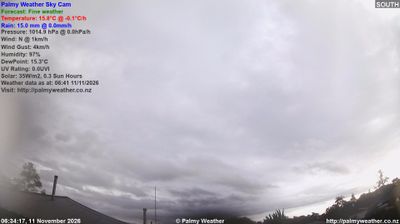
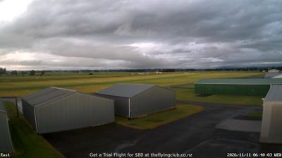

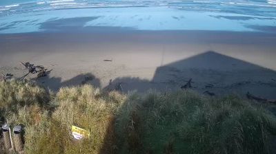



The Manawatū River defines the setting of Palmerston North — its broad course across the Manawatū Plains has helped make the city a long-standing service and commercial centre for a productive farming district. Known locally as Palmy, it sits in the lower North Island between the Tararua and Ruahine ranges, with the river continuing east through the Manawatū Gorge. The Square, a large central reserve, is the civic heart, while Te Manawa combines art, science and local history exhibitions. Palmerston North is also home to Massey University’s original campus and the New Zealand Rugby Museum, reflecting its national role in education and sport. View additional webcams nearby to better understand how Palmerston North relates to the Manawatū Plains and surrounding ranges.
3 webcams
The Whanganui River and the central volcanic plateau define much of Manawatu-Whanganui – their valleys, pastureland and uplands underpin farming, forestry and outdoor travel. The region extends from the Tasman Sea coast across the Manawatu plains to Tongariro National Park, where Mount Ruapehu is an active volcano and a major landmark. Whanganui is one of New Zealand’s oldest European-settled towns, while the river holds profound importance for local Māori communities. In 2017, the Whanganui River was recognised in New Zealand law as a legal person, reflecting its relationship with iwi. View additional webcams nearby to better understand how Manawatu-Whanganui relates to its surroundings.
21 webcams
New Zealand combines Pacific isolation with strong ties to the wider South Pacific in a way that reflects its position between the Tasman Sea and the open Pacific Ocean. The country’s two main islands are divided by Cook Strait, while the Southern Alps run along much of the South Island and include Aoraki / Mount Cook, its highest mountain. On the North Island, volcanic terrain shapes Tongariro National Park and the central plateau; long coastlines frame cities such as Auckland and Wellington. Māori culture is central to national life, and the Treaty of Waitangi, first signed in 1840, remains a foundational document in relations between Māori and the Crown. See how New Zealand fits within the wider South Pacific by browsing webcams nearby.
494 webcams